Thursday, August 30, 2018

Shedding Light on Rhode Island

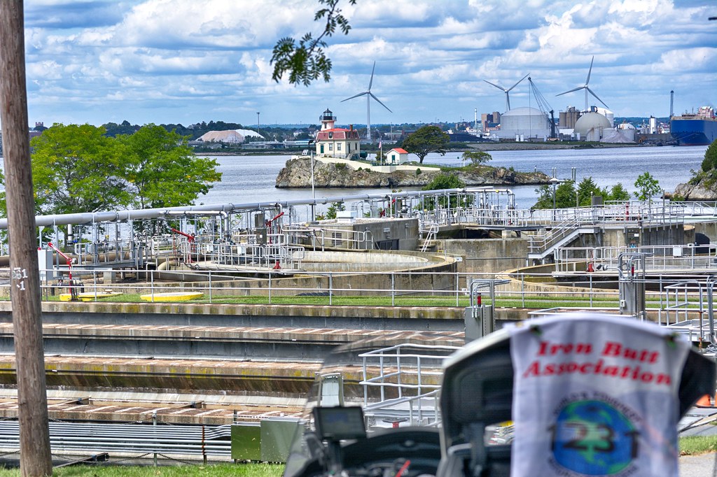
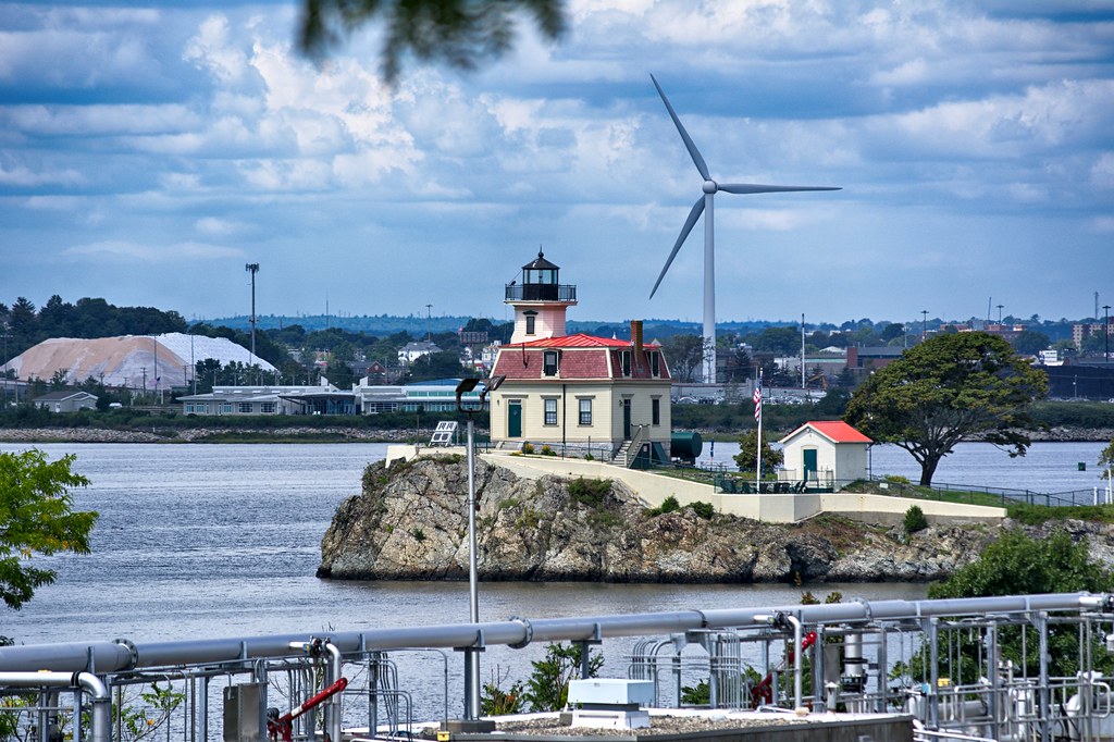
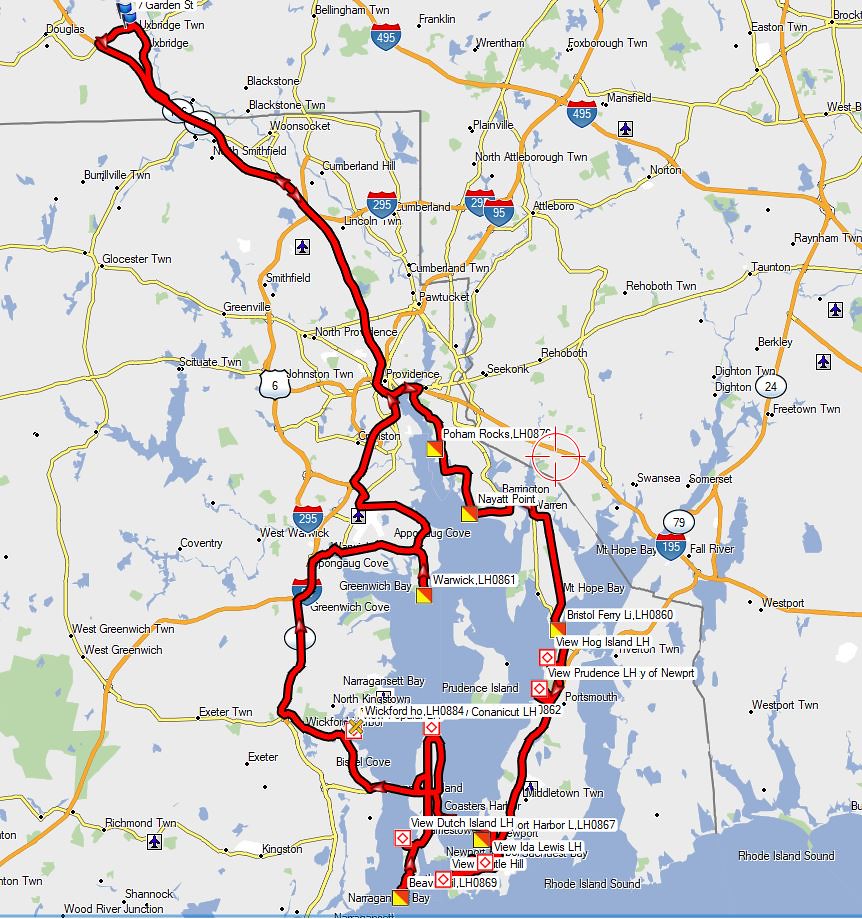
I have been running for ST signs all summer, so I decided to shake things up a bit and hit some lighthouses in Rhode Island today for the IBA Lighthouse Tour. This tour for the minimum level qualifying award is to capture 60 lighthouses in 12 months. Not really that difficult here in New England. I mapped out 12 or so lights to go after. First stop was in Riverside RI for the the Pomham Rocks LH. This one sits in the Providence River. The forty-foot-tall Pomham Rocks Lighthouse went into operation on December 1, 1871 and was retired in 1974, replaced by a skeleton tower.


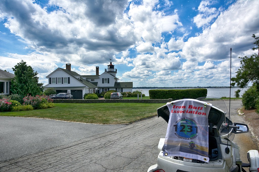
Continuing down the east side of the Providence River the next stop is a private residence at Nyatt Point. This one I had marked in the general vicinity of where it might be and traveled around the neighborhood looking for it. I almost gave up and turned down one more street and voila. It was built in 1856, replacing one that was built in 1828. The lighthouse was deactivated in 1868 and replaced by the Conimicut Point Lighthouse.


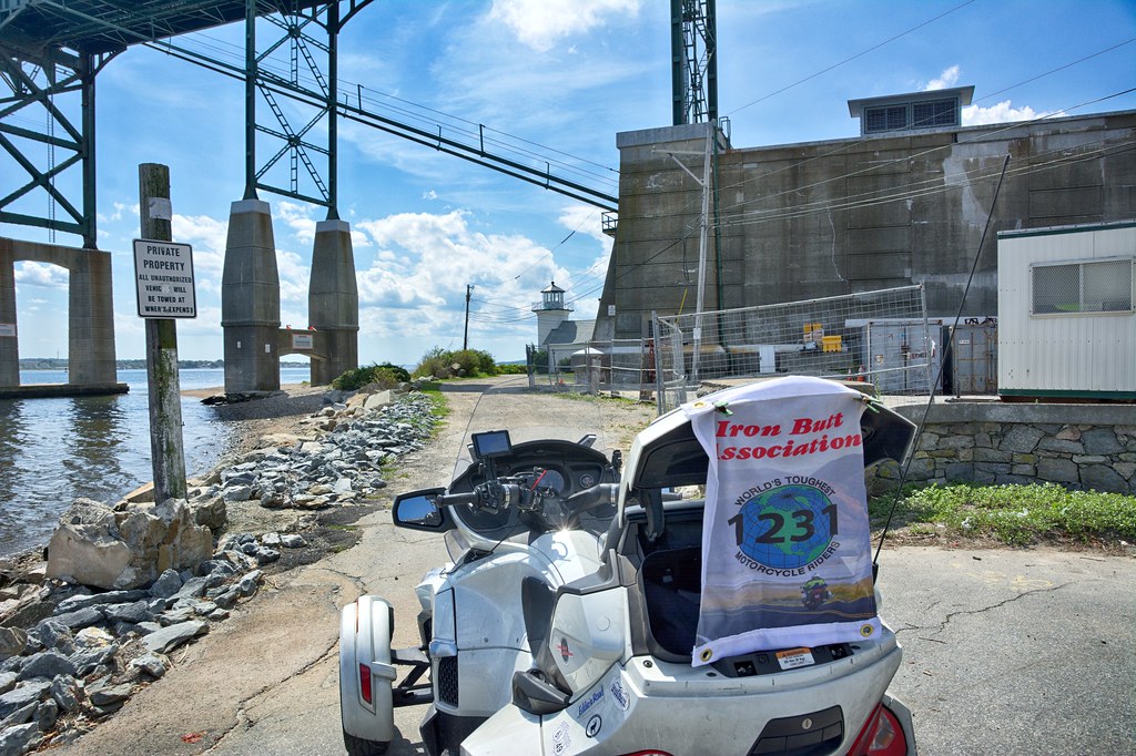
The Bristol Ferry Lighthouse, also a private residence, sits right next to and almost under the Mount Hope Bridge. The two-story square brick lighthouse was built in 1855, and was discontinued in 1927. Prior to the construction of the bridge, a ferry operated between Bristol and Aquidneck Island, and the light assisted the ferry service
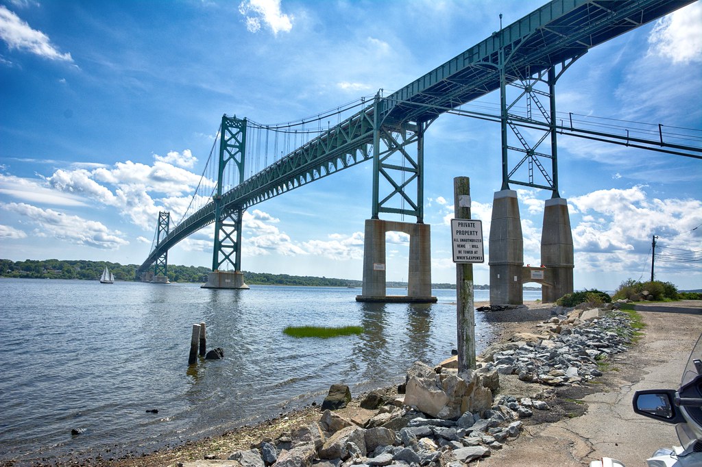
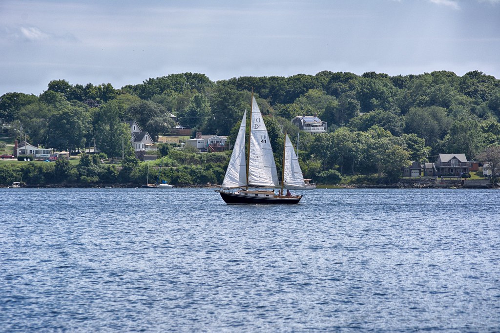


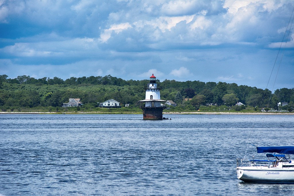
Just over the Mount Hope Bridge, turning right off RI 114 one can get a view of Hog Island Shoal Light, built in 1901. Hog Island Shoal Lighthouse is listed in the National Register of Historical Places and remains an active aid to navigation.


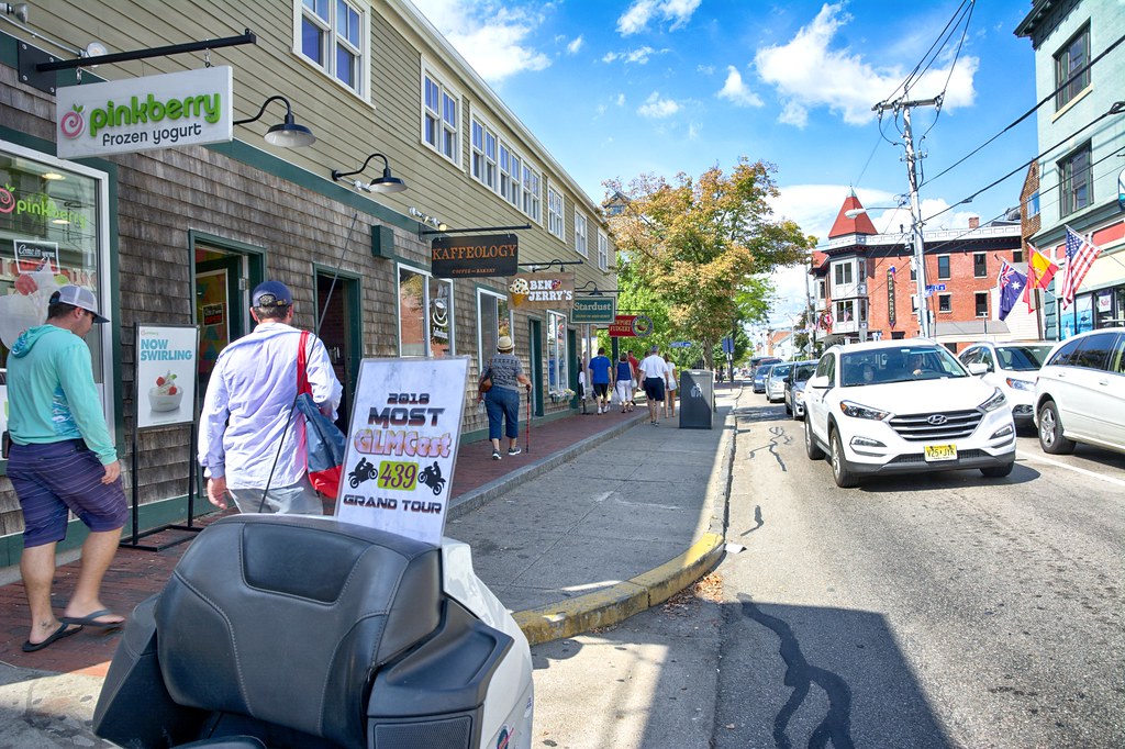
I picked a spot on Cory's Lane to see if I could grab a shot of Prudence Island Light. Forgetting where I was looking for the light, I gave up. I might come back to this spot on the next trip. From here I headed into Newport for the Newport Harbor Light. As I have traveled down the Providence River and along Narragansett Bay I have been picking up some ST signs as well, but for the most part they are not particularly interesting or make for something to write about. I did grab the little shop called Stardust, which also shows the folks wandering around downtown Newport. It was surprisingly light in traffic for summer time.


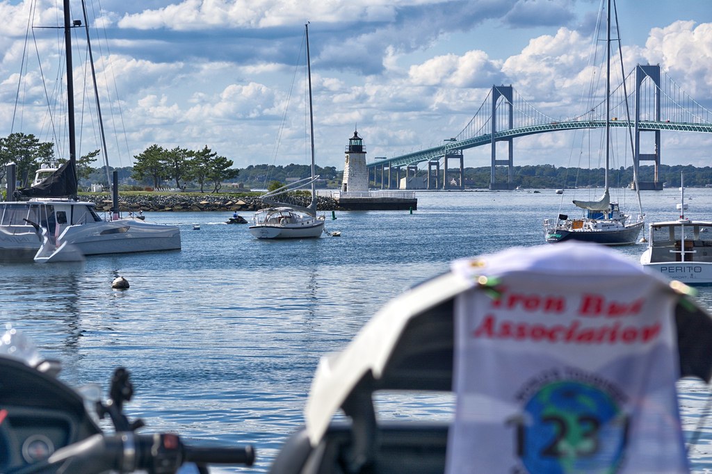
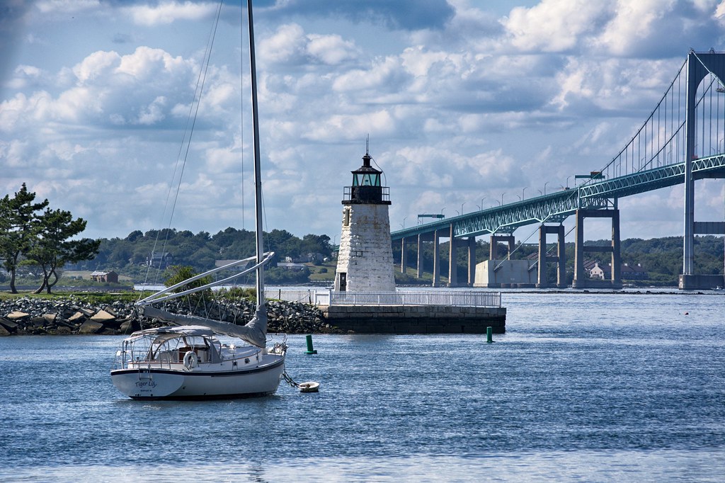
Newport Harbor Light is also known as Goat Island Light, built in 1842. The present lighthouse replaced one in 1823. Goat Island got its name from the farmers grazing the herds of goats here. In the background you can see the Clairborne Pell Bridge also known as the Newport Bridge, connecting New Port to Jamestown.


I did travel to Fort Adams to see if I could grab a picture of the Castle Hill Light from the Castle Hill Inn. Almost made it to the parking lot, when I was informed that motorcycles where not allowed up by the inn. They also told me it was a short walk to the lighthouse and I was not in the mood for a walk since it was in the nineties. You can stay here for a bargain price of $655.00. Off season price is around $455.00


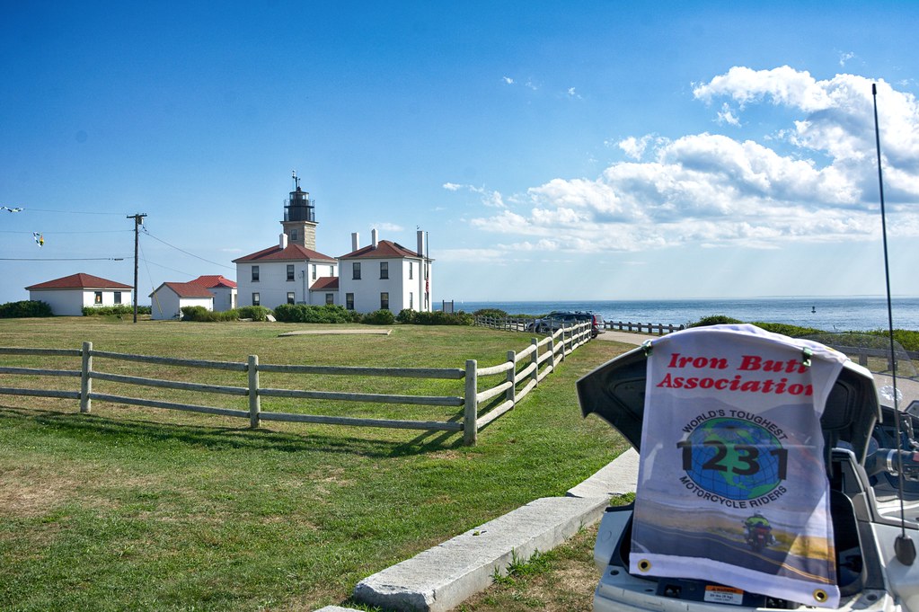
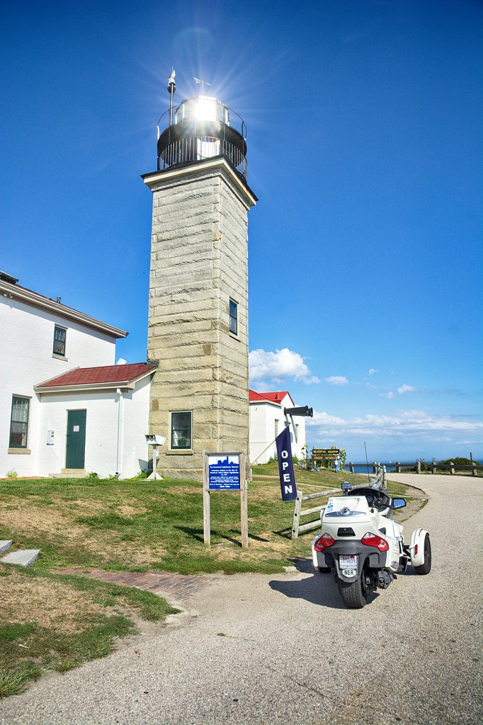
Crossed the Newport Bridge for 3 more lighthouses. The first one was a potential view of the Dutch Island Light which is also a campground. They wanted $27.00 to get in. I asked the kid when is the season over and he said September 16th and it would be free. I said I will be back then. Headed for Beavertail State Park for the Beavertail light, which is on the southern point of Conanicut Island. The original light was established in 1749, with this one built in 1856.


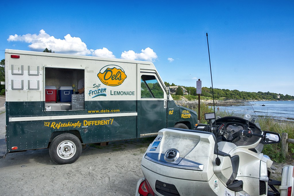
I then headed for the northern most point of Conanicut Island to grab the Conanicut Light. I must not have been paying attention and drove right passed the left hand turn I was suppose to make and found myself crossing over the Jamestown Bridge to the west side of Narragansett Bay and Providence River. No biggie, Crystal has not been to Beavertail so we will return and grab it then. It is a private residence and may be hard to spot from the road anyways. Before I left Jamestown I stopped at a Rhode Island iconic ice truck called Dels for a lemon ice. Very refreshing at this point in the day.


From the Del's site:

"Grandfather Franco DeLucia brought his father’s frozen lemonade recipe to America at the turn of the century. Angelo DeLucia, his son, began work on a machine to produce the frozen lemonade, and on a method of making it a consistently excellent product. In 1948, Del’s Frozen Lemonade acquired it’s name and became the sole product sold at a little stand in Cranston, Rhode Island. Soon, Angelo had designed the first mobile units in order to serve anywhere in the state."


Traveling north stopped in Wickford, RI for the Poplar Point Light, a private residence. I you squint your eyes you can see the tower between the 2 clumps of trees. This one was built in 1831 and discontinued in 1882.
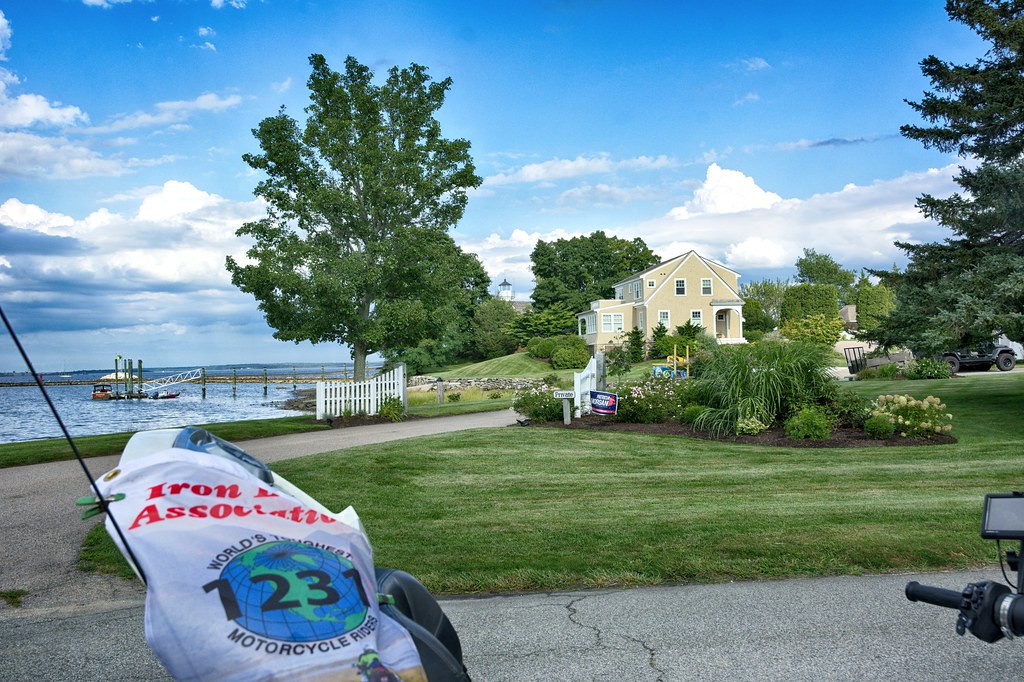


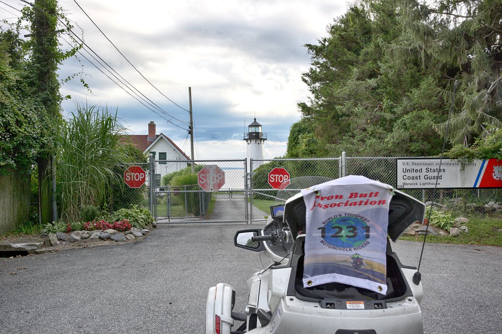
Last stop of the day was for the Warwick Light, which is also a Coast Guard Station. Originally established in 1827, this one was built in 1932. During Prohibition, lighthouse keepers also had the unofficial duty of keeping an eye out for bootleggers.


Having left around 11:30 in the morning I pulled in right around 6:30pm traveling some 172 miles.
Tuesday, August 21, 2018

Huggin Hudson


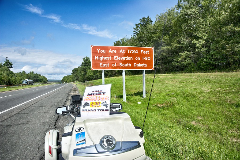
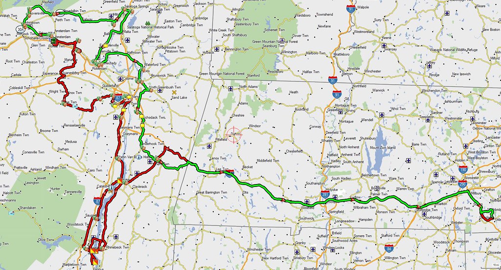
Heading for the outskirts of the Catskills and then north to Saratoga Springs. The weather is near perfect, in the 70's and very low humidity. The trip looks very promising. Main purpose is to capture so more ST signs for the GLMC Grand Tour, and a few lighthouses on the Hudson. Headed straight out the Mass Pike, stopping in Becket on the Pike for the Highest Spot East of South Dakota on I-90. 2 Points for the ST words.


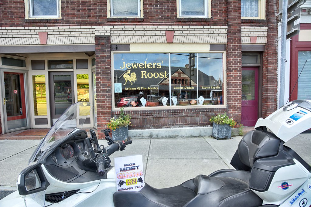
While most of the trip and photos are of ST signs, which I will not bore you with, however I need to ground the story from time to time. First stop was in Chatham NY. This spot I just happened to pass.


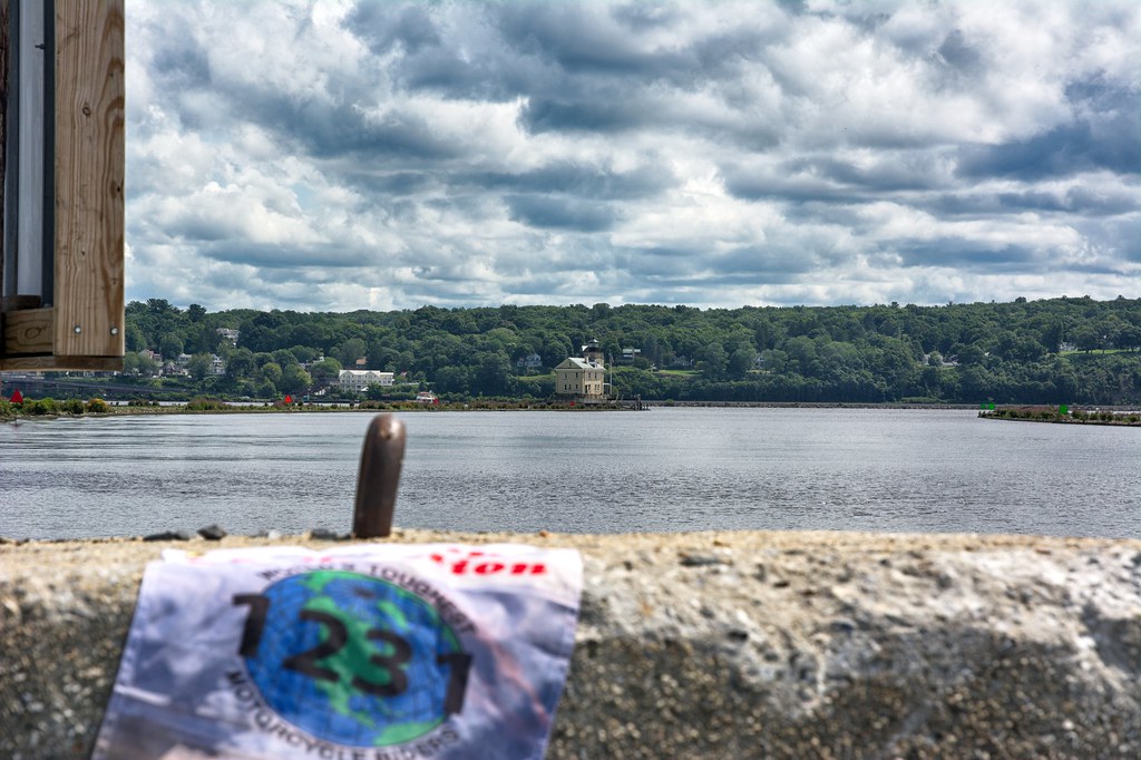
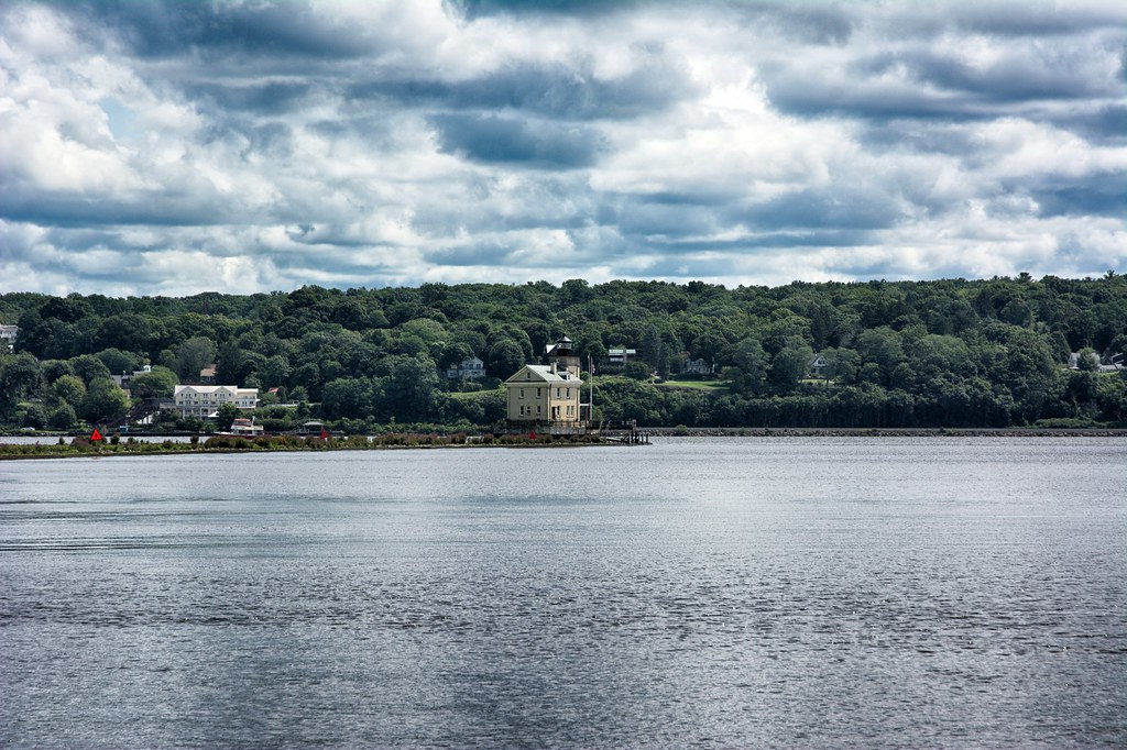
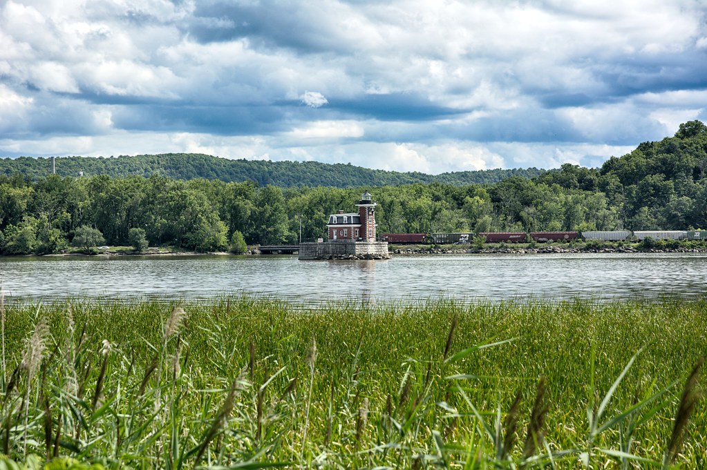
There were quite few stops before I got to Roundout Creek Lighthouse in Kingston NY. It was built in 1915, replacing the earlier 1867 lighthouse.


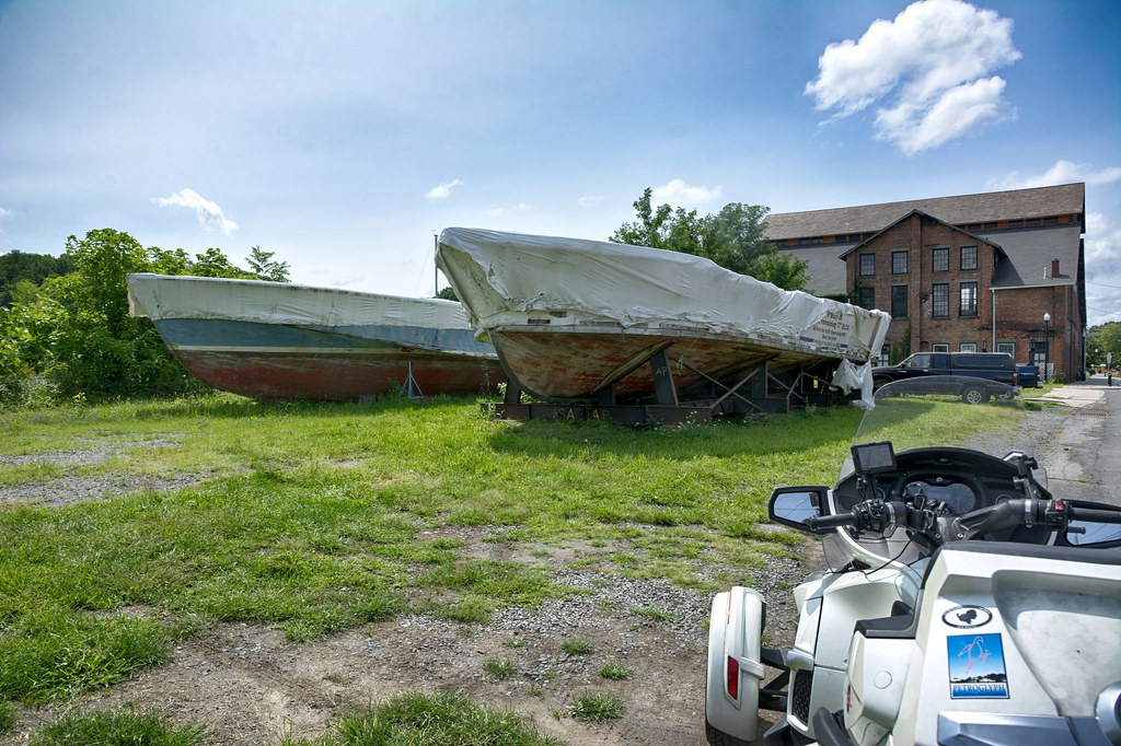
The Hudson River Maritime Museum is located in Kingston. As I headed back into Kingston there were a bunch of WWII PT boat hulls sitting on the grounds.


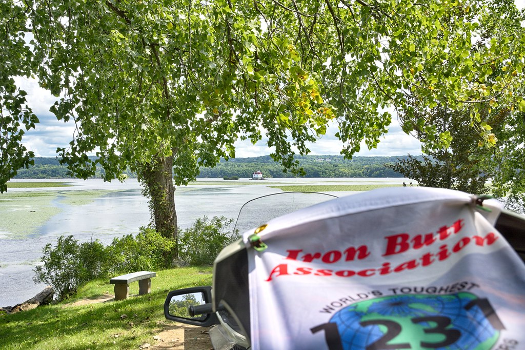
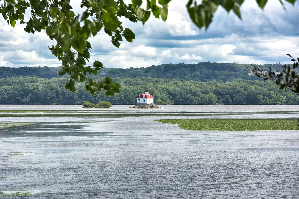
Heading further south to Ulster Park for Escopus Light. This one is an active light. built in 1871. It is the last wooden lighthouse on the Hudson River.


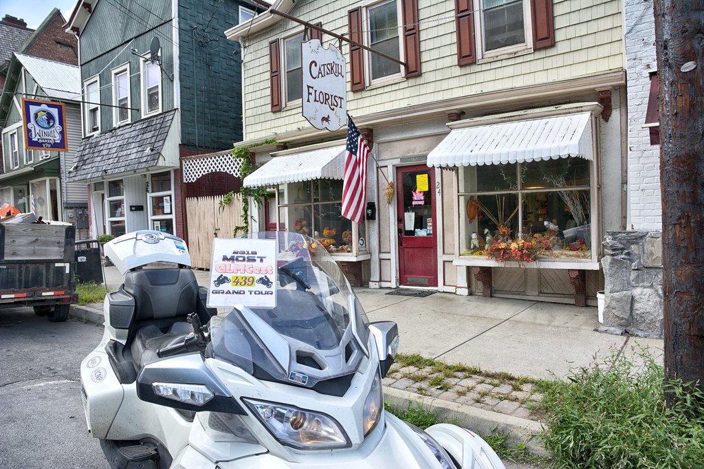
Heading north I stopped in Catsill for some flowers. I was gonna wear in my hair, however I had a helmet on. I was going to stop in the Thomas Cole House for a National Park stamp. I tend to complicate my trips by trying to accomplish to much versus concentrating on the task on hand. Just ask Crystal (SO) when we did 4 different contests on one of our trips.


Just outside of Catskill is Athens, NY. I had a spot marked on NY 385 and I was spot on where I could grab a snapshot, but it is so far off, not sure it will work for the Lighthouse Tour.


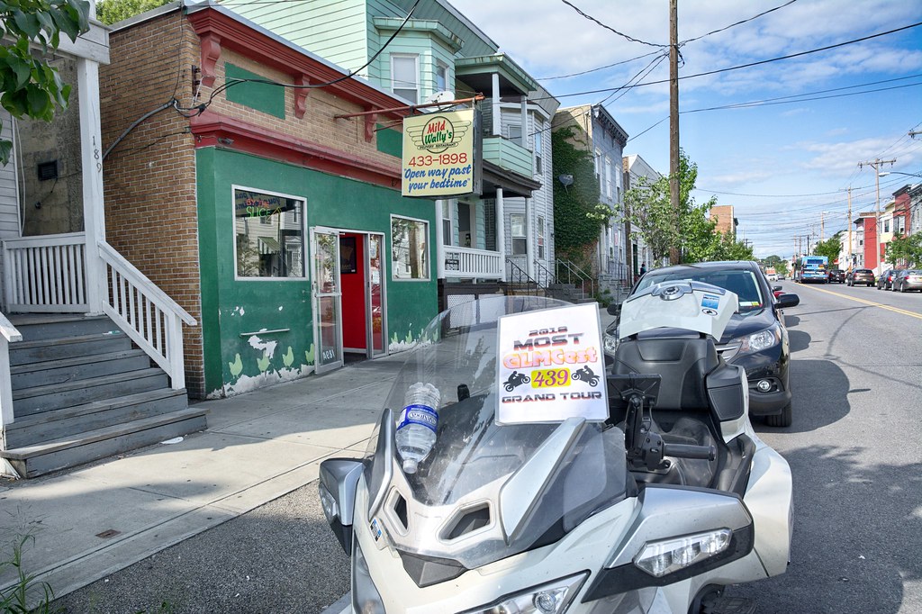
Made my was up Albany for a bunch of places. Found this joint to have an amusing slogan.


In Albany turned south and then went west hitting a bunch of places until I arrived in Amsterdam NY for the night. Stayed in a Super 8 which turned out to be much better than my expectations. For dinner went to DomAdi's Deli having some really good mac n'cheese and a half Italian sub. If you are in Amsterdam a worthy stop.
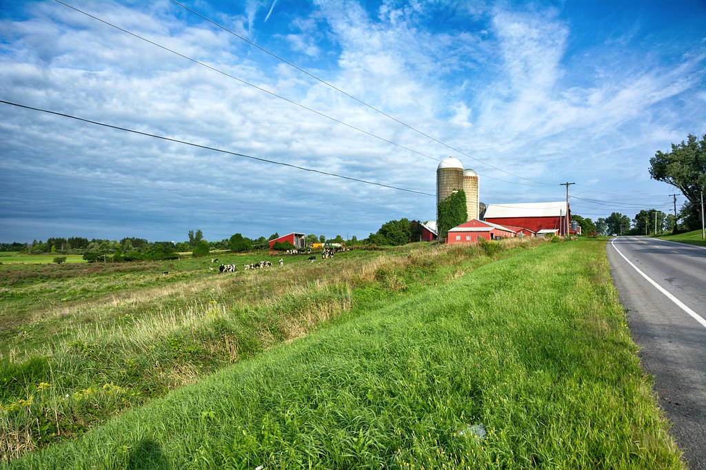
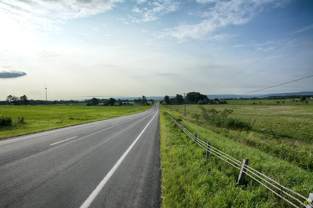
I tend to get an early start when on the road, but not so early that I am likely to run into packs of forest rats. Just outside of Amsterdam, in Mohawk, NY I stopped at this farm scene. It just grabbed my attention to pull over and take a shot.


Looking the other way one would think I was in Oklahoma versus New York. I distinguish Oklahoma versus Kansas because of the rise in the road in the background. Kansas is way flatter.


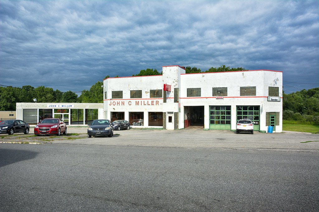
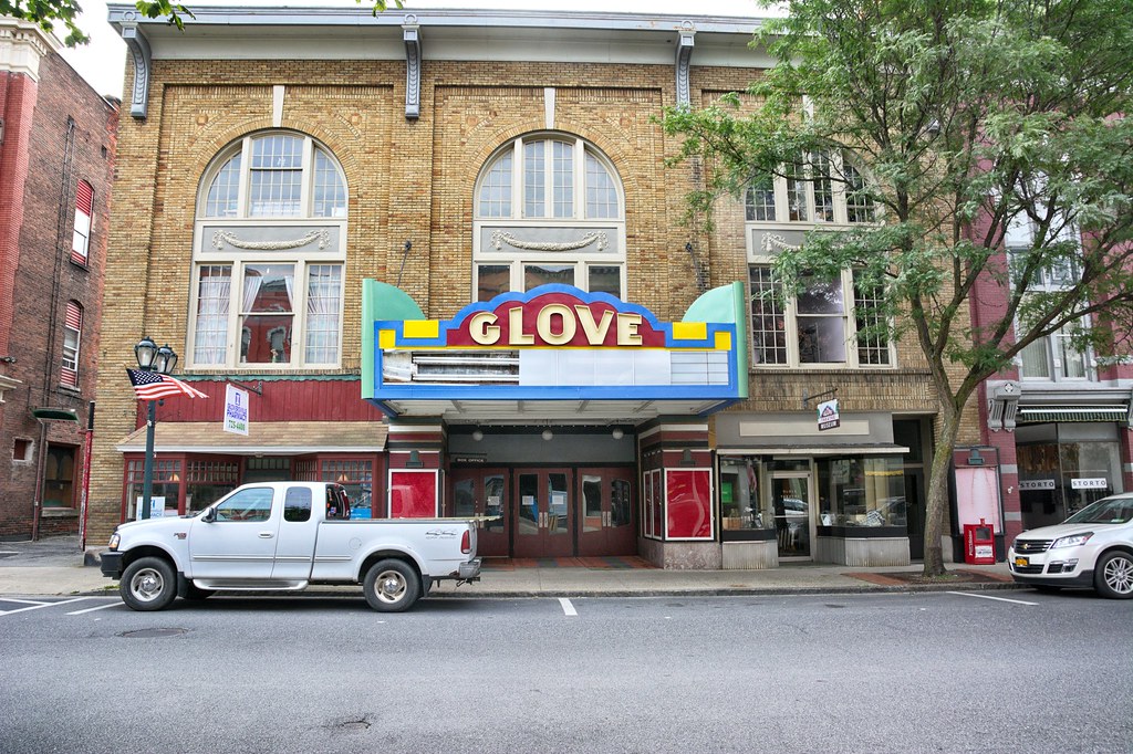
In Gloversville which was center of Glove making in the United States was this dealership from the past. The building struct me because of the Art Deco / Moderne look and feel to it. Can't you picture some Auburn Cords. Pierce Arrows or Duesenbergs sitting out front?


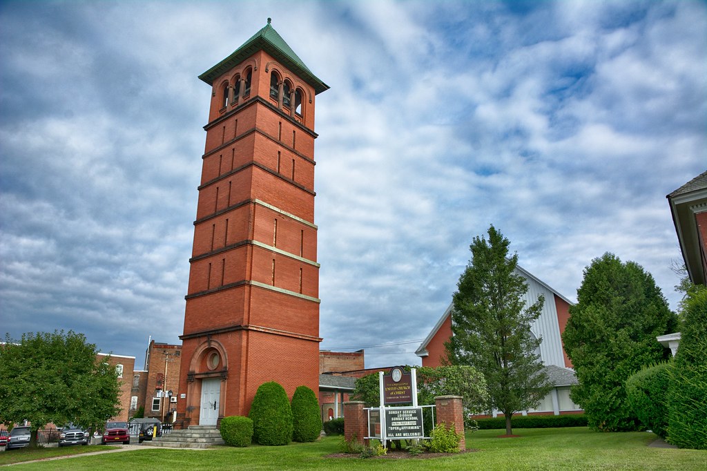
Another striking building is the First Congregational Church in Gloversville with its big bell tower .


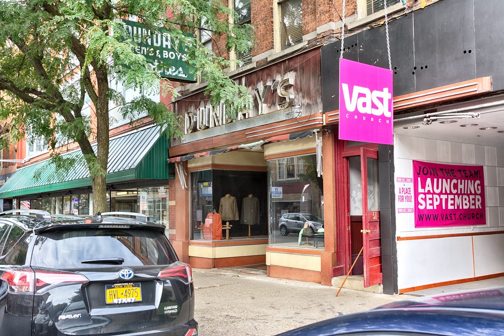
Gloversville seems to never have left the 1950's or early 60's. I remember my Mom bringing to clothes stores like the one pictured and going to movie theaters like this one


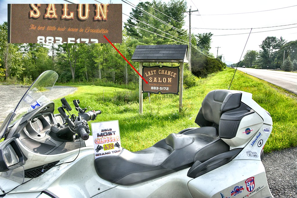
I finally have turned east just touching the southern border of Adirondack Park. In Broadalbin stopped for another chance at this salon. I just love the little phrase on the sign.


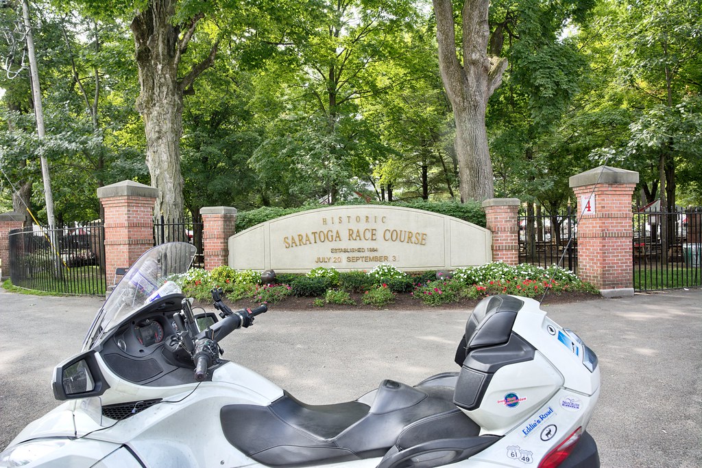
I have been thru Saratoga Springs a couple of times. Usually to get a picture of the race course and of course showing up on a race day. Being Wednesday there were no races and getting a picture of the entrance was a snap. Saratoga Springs recks of history and money. Saratoga Race Course opened in 1863, it is often considered to be the oldest major sporting venue of any kind in the country, ] but is actually the fourth oldest racetrack in the US. (Wikipedia)


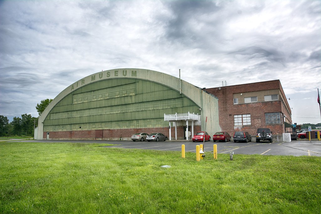
Turning south to Glenville I came across this huge hangar (aren't they all huge?). It was occupied by .General Electric Flight Test Center From 1946 to 1964, where groundbreaking jet engine research and other aviation advances were pioneered.


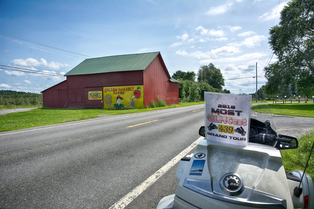
One of the last stops of the trip was for Golden Harvest Farms in Valatie, NY. The farm dates back to 1957 as a roadside stand for which became the largest of its kind along RT 9.


All in all the 2 day trip was great with perfect weather covering 608 miles on some very scenic roads.


Wednesday, August 15, 2018

Getting intimate with Ann

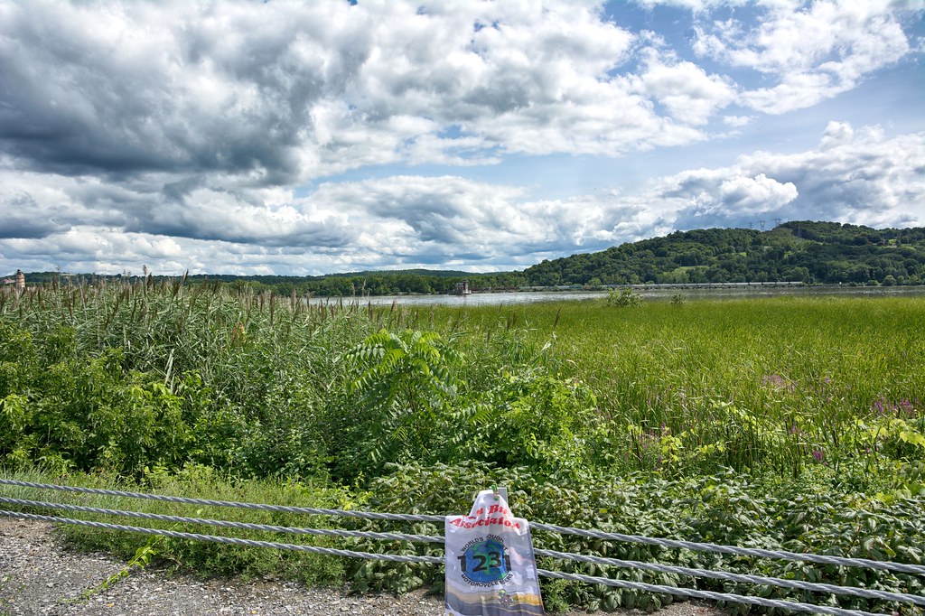
It has been awhile since I have posted any entries on my blog. I am participating in 2 Grand Tours this year; 1> GLMC Most EST Grand Tour the goal is to find as many words on signs that end in ST, such First Most Best, etc, etc 2>Teamstrange Melting Pot Grand Tour finding foreign countries within city names. For instance INDIA is contained in the town of Indian Orchards. Given that I recently obtained my Iron Butt Association flag #1231 for documenting my stops at lighthouses for the IBA Lighthouse Tour. Soon I will be hitting Acadia, purchasing a National Park Passport book to start my 6th National Park Tour. These tours give me plenty of places to go and travel the fork in road, so to speak.


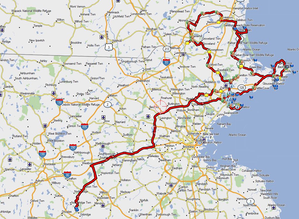
With that said as background on Wednesday August 15th I headed to the north shore of Massachusetts, also known as Cape Ann which includes places like Salem, Gloucester, Rockport, Essex, Ipswich and even crossed the border briefly into New Hampshire. Headed up RT 128 (aka I-95) to Salem for my first stop and grabbed the First Methodist Church


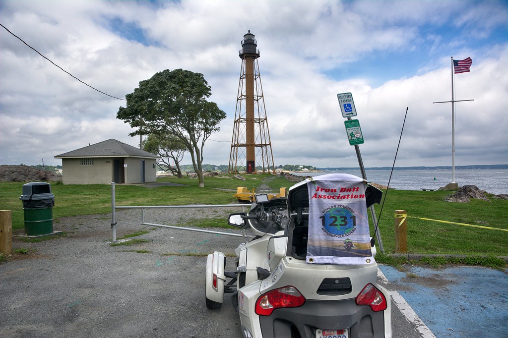
Grabbed a couple of other non interesting spots and headed to Marblehead for my first lighthouse. Not a particularly good looking lighthouse, but it counts for the IBA. The current tower is a skeletal structure that replaced the original 1835 brick and wood tower in 1895. It is the only tower of its type in New England, the next similar tower is to be found at Coney Island, New York. (Source Wikipedia)


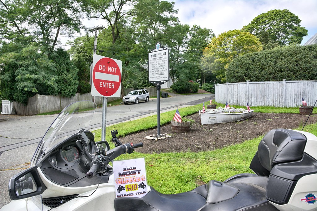
Coming off the peninsula was a Mass Bay historical marker. I have been casually collecting these over the last 10 years and this did have a ST word in it. These were put up in 1930 all around Massachusetts.


Headed into Marblehead proper for some more churches starting with FIRST and then back into Salem. This place has been around for more that 40 years under various owners. No clue if the food is any good but the sign is big and cool.


I enjoy riding around cities, especially if they are historic or have neat little shops with people wandering all around. Salem is just that kind of town. These guys claim to be the Oldest Candy Company, as ST capture.


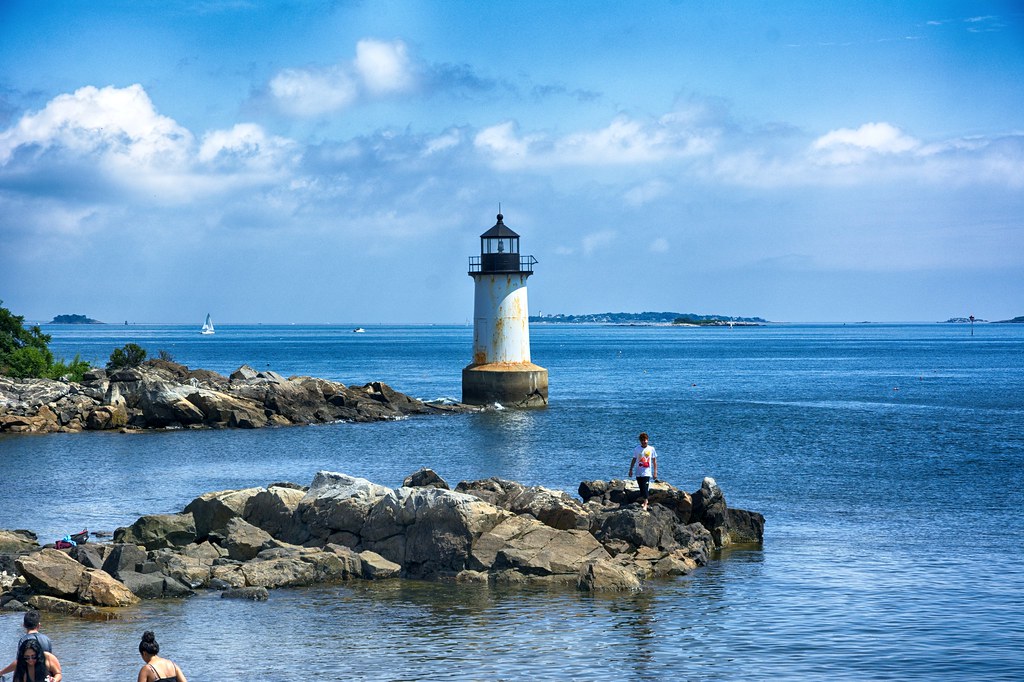
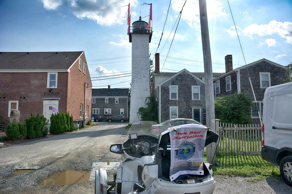
On Winter Island (no longer an island) is this very picturesque lighthouse. Fort Pickering Light, also known as Winter Island Light, is a lighthouse built in 1871 and discontinued by the Coast Guard in 1969.


A snapshot sans flag


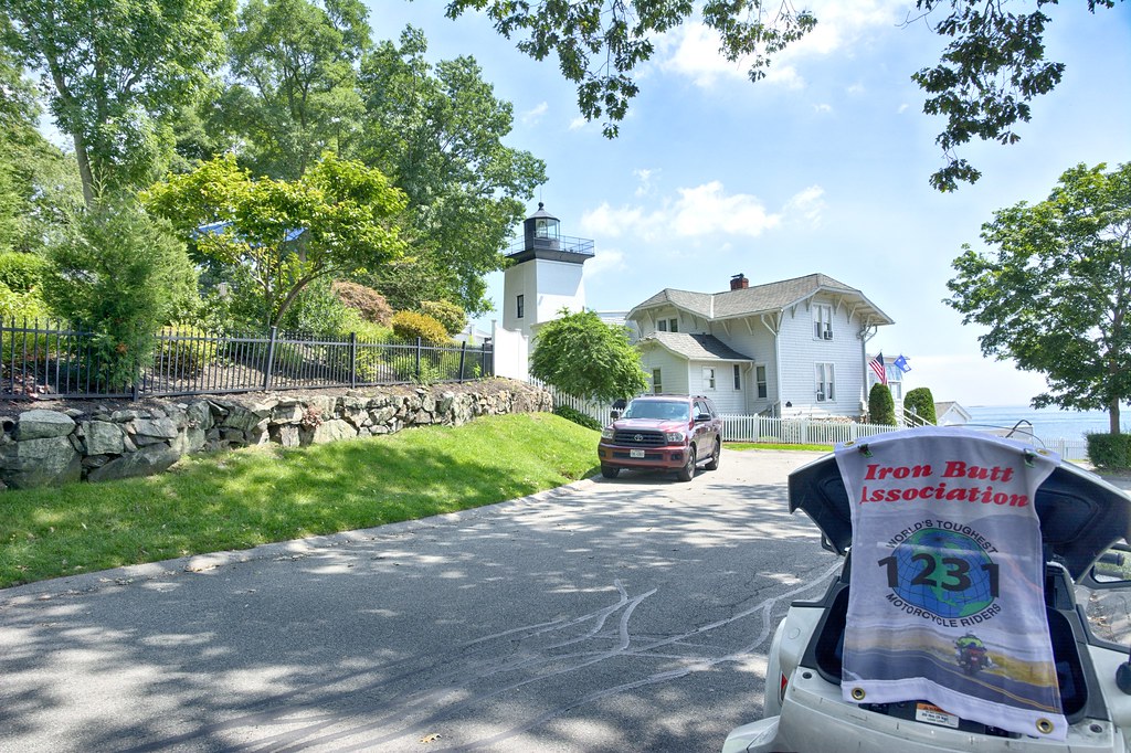
Over the Danvers River into Beverly this spot served 2 purposes. One it is the The First Baptist Church and is also the Hospital Point Rear Range Light. On May 1, 1927, Hospital Point Light was officially renamed Hospital Point Range Front Light, as a beacon was cobbled together, using equipment from a lightship, and placed in the steeple of Beverly’s First Baptist Church to serve as a rear range light for entering Salem and Beverly Harbors. Source: lighthousefriends.com. Tough shot to capture. It really doesn't bend.


The Hospital Point Front Range was built in 1871. Hospital Point Light is owned and operated as a navigation aid by the United States Coast Guard. The light is paired with a second light installed in the steeple of Beverly's First Baptist Church in 1927. Vessels are able to use the two lights to align themselves with the middle of the channel, avoiding the rocky shores. Source: WWikipedia


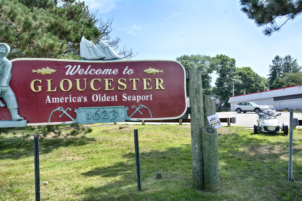
Headed north to Gloucester and Rockport. Grabbed this for the ST tour and I thought the name was pretty creative.


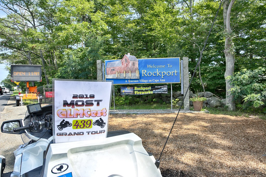
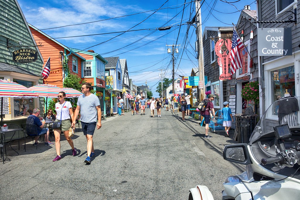
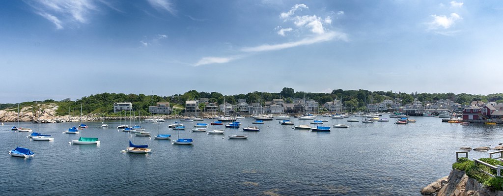
In Rockport I headed down Bearskin Rd which is full of people walking in the middle of the road, darting in and out of the little shops, not a great place for 2 wheel motorcycle like my FJR. On the Spyder is was as if I was walking right along the rest of the folks. Got to the end of the road for the lighthouse a screwed up the picture (noticed this when I got home) but did get a pretty could snap of the harbor itself.


Headed for the Annisquam Harbor light knowing full well I would not be able to get a picture. As I turned onto the street I noted (ignored) the PRIVATE DRIVE sign. Also saw many sign saying there was no visible spot for pictures of the light house. Maneuvered the Spyder up and over the speed bumps. At one Y there was a traffic cone in the middle of the left branch so I went right. No lighthouse view from this one. As I headed back there was no traffic cone in the road, so I simply kept going straight reading all the signs "No Picture of the Lighthouse". Came across some folks coming up from the beach and figured I was going to get chewed out about being on a private road. Slowed and then stopped to take my tongue lashing, however to my surprise one woman was asking me all sorts of questions about the Spyder and the gentleman commented how quiet it was. Guess what, got to the end the signs were right, couldn't get a picture of the lighthouse, bike and flag in it. I could have walked onto the beach and got one, so maybe this fall I will head back up here with Crystal for another try.

Next up is Ipswich. When I first moved to Massachusetts I used to go to Cranes Beach with my friend Rick. What I remember about the beach were the "green heads", a particularly nasty fly with big green eyes (like Vincent Price has in the movie the Fly, even thou it was in black and white) that draws blood upon landing on you. Here's an interesting article on them in Yankee Magazine. CLICK HERE to READ
https://newengland.com/yankee-magazine/living/pests/greenheads/

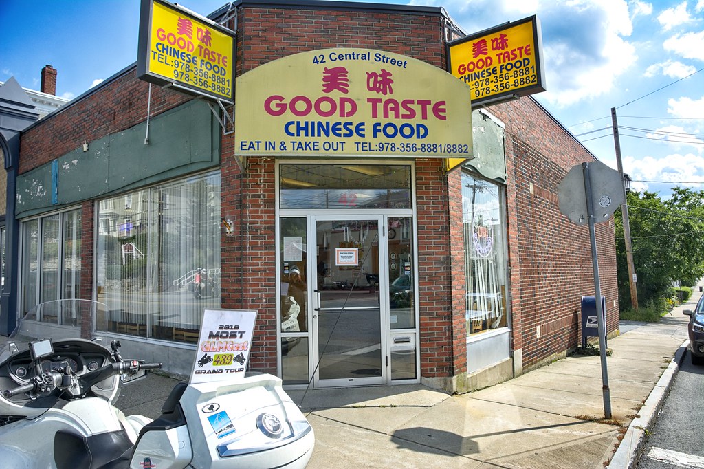
So I digressed to another point in my life. I downtown Ipswich I was headed Zeno's Roast Beef and Seafood, but saw this place. What a great ST place. Hung a U-Turn in the middle Central Avenue, pulled up right next to the spot, parking illegally, jumped off the bike, grabbed the shot all to realize that TASTE has an E on the end of it and won't work for a ST spot. So I refocused and grabbed Zeno's


Off to Newburyport for 2 lighthouses. One on Plum Island and the other in downtown Newburyport.


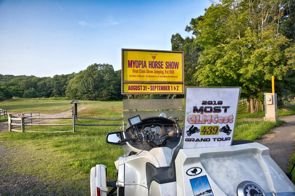
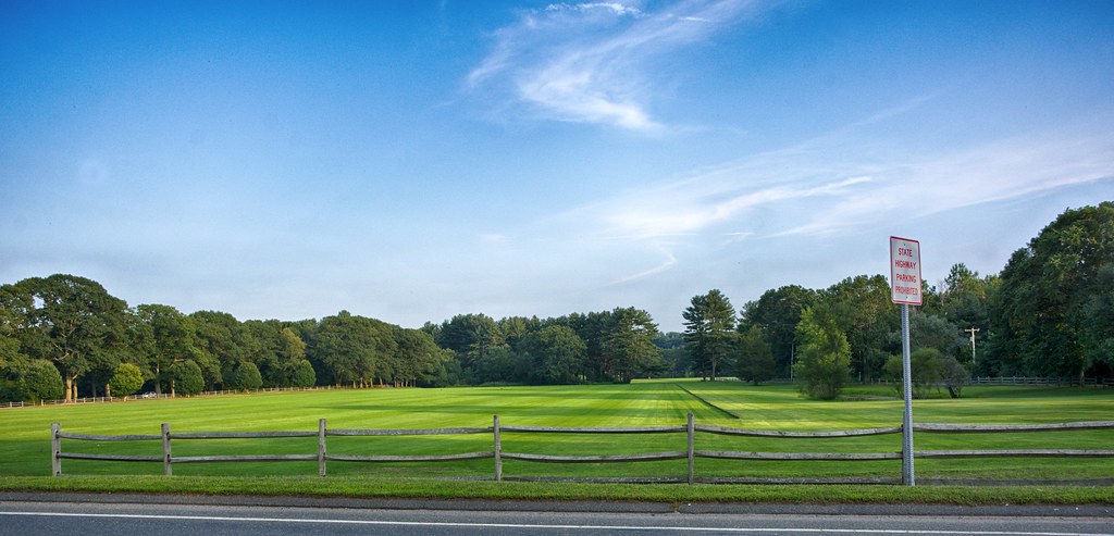
In Hamilton saw the Myopia Horse Show sign with is also where they play Polo. First picture for the ST, right across the street is where they play Polo. I wonder how much their lawn care people charge.


From here I meandered up into New Hampshire back down thru Haverhill, Georgetown back into Beverly for my last stop in Peabody. Jumped on Route 128 and headed home.


This journey started 9:30AM and ended 278 miles later some 12 hours later. All in all it was a successful point capturing day and a great visual day.