While heading to my first stop, on North Rd in East Killingly I came across the Westcott family cemetery. Why do I stop and take pics of cemeteries. There is a Waymarking category for them and they can be quite photogenic. There are only 10 residents in this one.
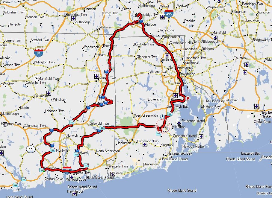
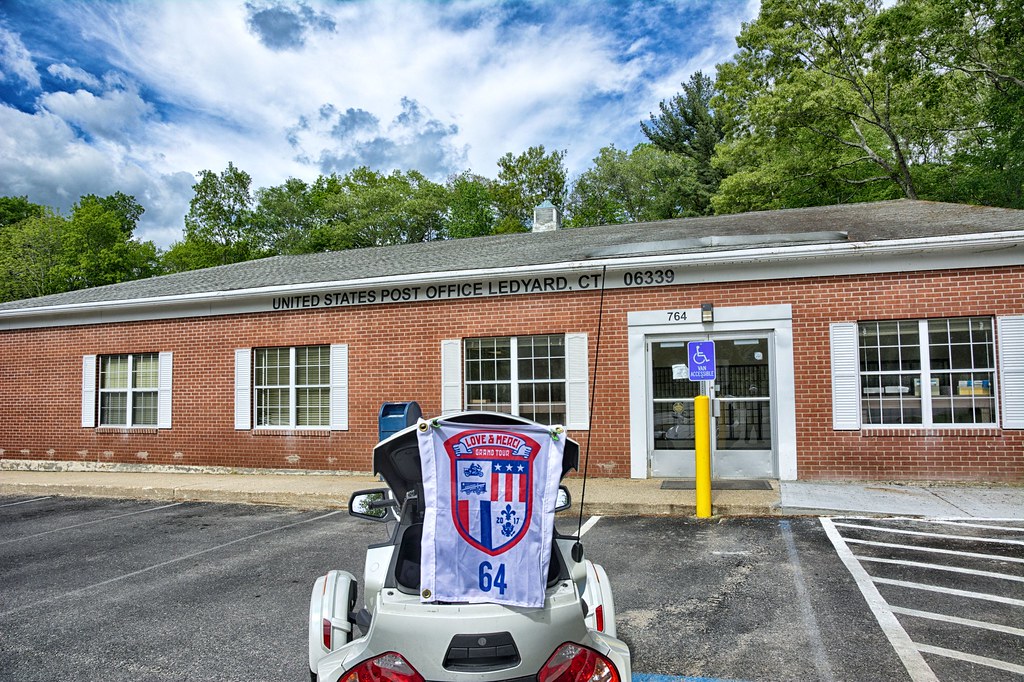
North Rd. dumps out onto Hartford Pike, RT 101. Stopped for the first E town of the day.

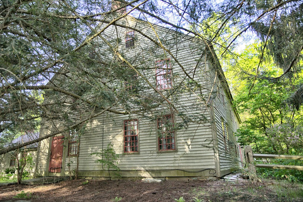
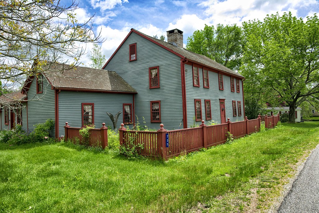
Hung a right onto Peeptoad Rd (cool name, eh )NRHP (National Register of Historic Places) site, Elliotville Lower Mill. Peeptoad is a hard packed dirt road, however it is a town road and not a private road. The mill was built in 1850 as a cotton mill, owned by the Elliotville Manufacturing Company. The dam and pond provided the power for the mill. Today the mill is a residence, studio and craft exhibition space.
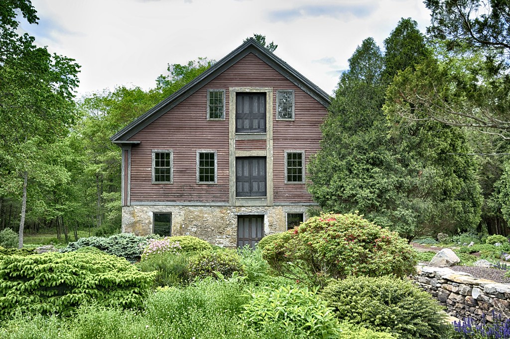
As I was taking pictures I saw a woman coming toward me from the property. This is not unusual, most of the time it is what am I doing, which I tell them I am an amateur photographer and historian, which satisfies the folks for the most part. That would not be the case today. The woman admonished me for taking pictures, telling me she has worked very hard on the property to get it to this point and did not appreciate me taking pictures of her property. I assured her my intents were purely innocent. Well for now the law states that a photographer is in the public domain they can take pictures of what ever they want. Since I was standing on a town owned street that is the public domain. That was my thought bubble, however I kept it to myself. No point getting into a never ending argument between us. You would think that the artist (see above) would appreciate another artist (cough cough) practicing their craft.
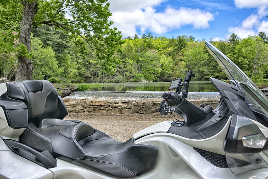
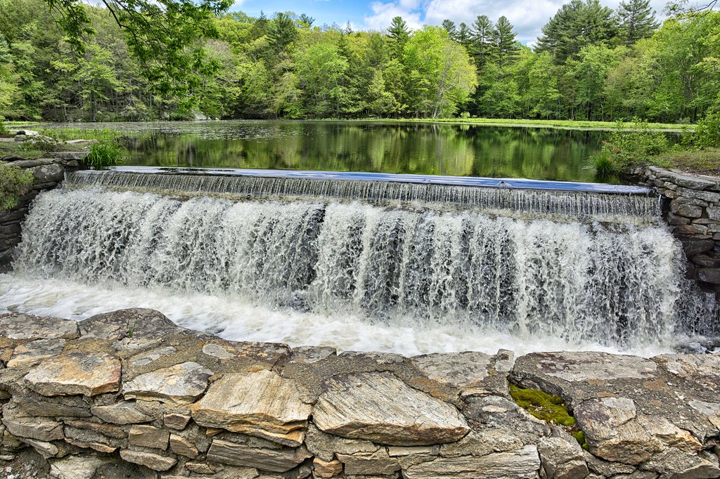
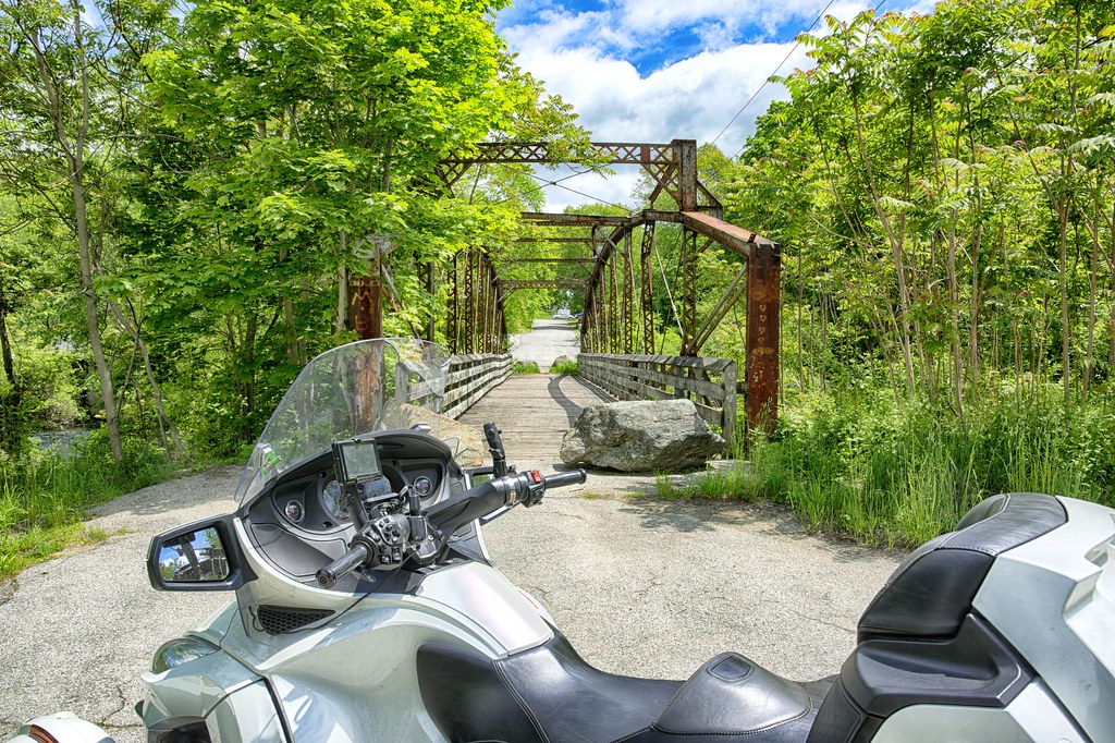
Following the back roads, RT 664, I worked my way to Glens Falls Bridge (NRHP) on Brunswick Ave in Plainfield. The Glen Falls Bridge is a single span wrought iron lenticular thru truss bridge built in 1886. It was built by the Berlin Iron Bridge Company for the Town of Plainfield. It crosses the Moosup River and is adjacent to the former Glens Falls woolen mill. Brunswick Ave was once was a major road, closed sometime before 1989.
The lenticular part is the structure that looks like a rear axle leaf spring (well at least to me).
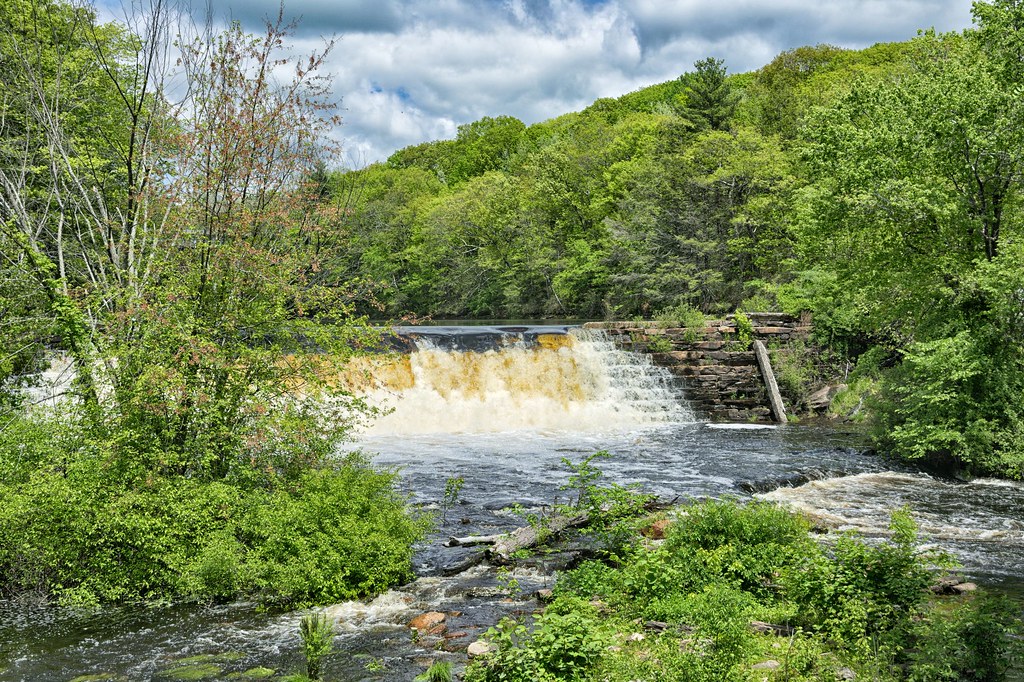
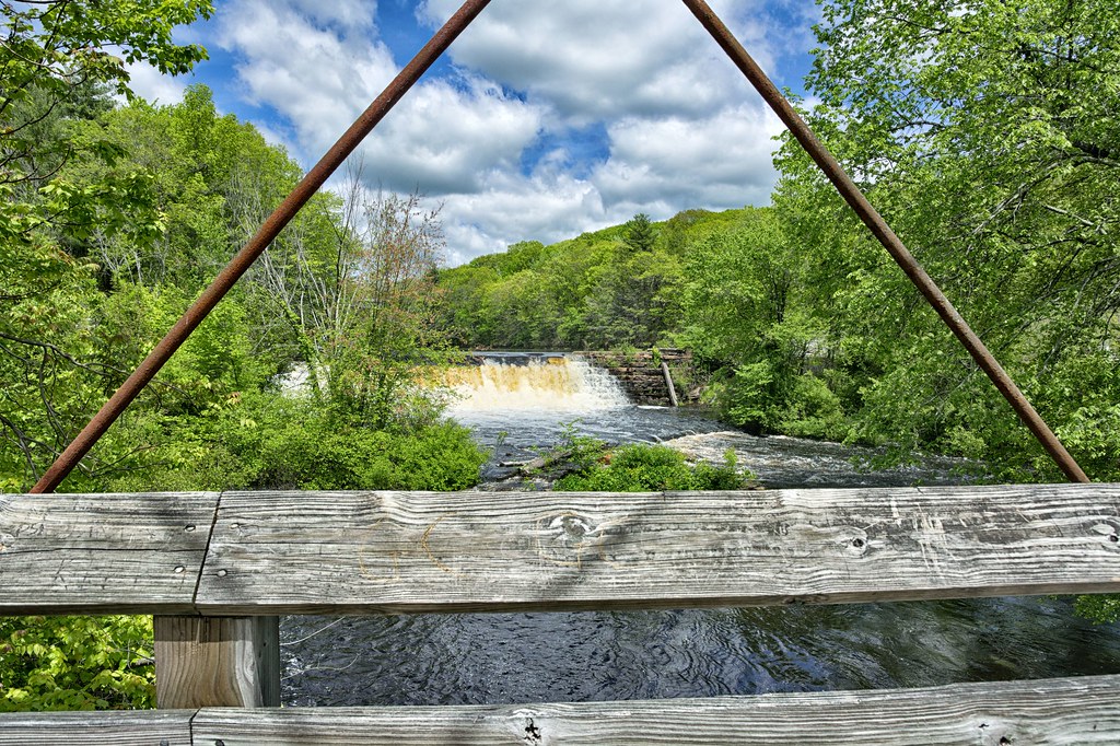
View of the Glens Falls Dam that was used to power the mill.
Not seeing any signs on the bridge to stay off, I ventured out to the middle.
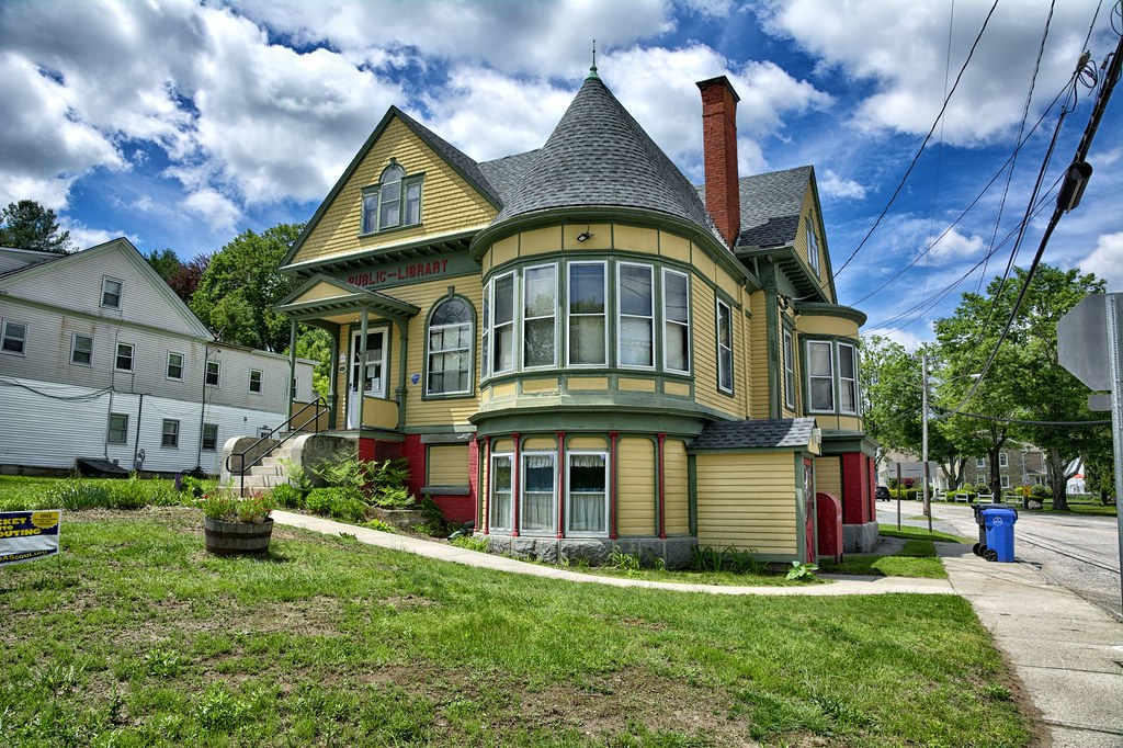
Just up the road on RT 14 is the Aldrich Free Public Library, on NRHP. The Aldrich Free Library was built in 1895 in the Queen Anne style. The library was a created as a result of donations from David L Aldrich ($3,000) and Edwin Milner ($2,000), who were the town's leading industrialist, as well as smaller donations from community residents. The library opened on Washington's birthday in 1896. The architect was Charles F. Wilcox from Providence, RI. It is located in the village of Moosup, part of Plainfield.
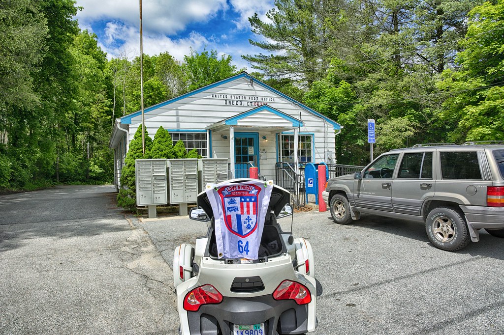
Rt 14A splits off from RT 14, which heads to Sterling Hill. Grabbed the Oneco PO for the "O" and the Oneco Market right across the street. The store qualifies as a Local Grocery on Waymarking, but they are cool looking in their own right.

Further up 14A is Sterling Hill Historic District (NRHP). The majority of the homes are 18th century with the Sterling Hill Baptist Church the focal point, built in 1797. English settlement came shortly after 1700, with the area incorporated in 1721 as part of Voluntown. Route 14a was a major link between Rhode Island and central Connecticut. Many of the homes in the district served as taverns at one time or another. The residents of the area in 1797 built the present day church to serve as a meeting house and only occasionally did it serve as a religious place. In 1812, the trustees of the meetinghouse made it available to the Sterling Baptists.
Picked up RT 169, Canterbury Rd and headed south. Rt 169 is an America Byway and quite a scenic route. Saw the Lisbon Town Line marker which I will use as a "L" town.

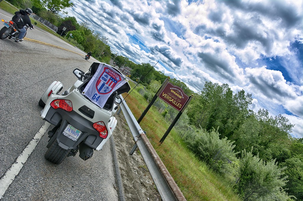
Tried to get the Versailles PO but no sign, the Welcome to Versailles is much prettier anyways.
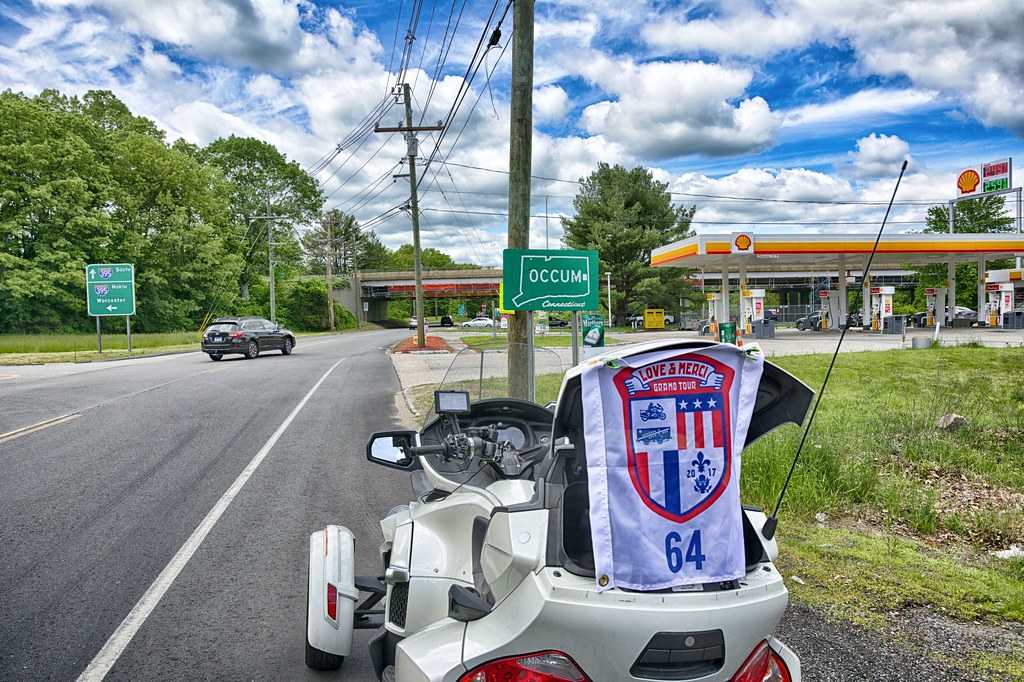
On CT 97, Bridge St is the Occum Hydroelectric Plant and Dam (NRHP).
The dam dates to 1865, was intended for providing water power down stream for mills in the area. In 1932 the dam was purchased by Norwich and reconfigured for electrical power generation. The dam is built of large irregular blocks of granite, which measures 14 feet high, 12 feet wide at the base and 6 feet wide at the top of the dam. The dam was heavily damaged in the 1938 hurricane, resulting in reconstruction of the eastern portion with reinforced concrete. There is a brick powerhouse on site. The interior space of the powerhouse is filled with a single vertical shaft three phase 4,000 volt, 8oo kw generator made by the Electric Machinery Manufacturing Company. It was constructed in 1934. The powerhouse served main functions: shelter for the controls and generators and support for the bridge crane used to lift the units up for service.

Picked up the Occum town line sign
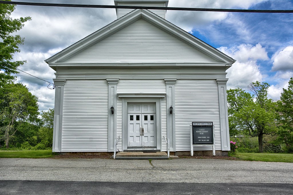
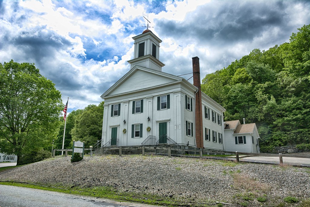
On Ct 163 is the Bozrah Congregational Church (NRHP). Completed in 1843, the church served as a religious site as well as a meetinghouse for the town for 100 years. It is a white Greek Revival structure with the gable end prominently facing the street. The three stage tower does contain a large bronze bell.
In investigating the church normally the Congregational Churches in New England are affiliated with groups such as United Church of Christ. The Congregational Churches were organized in the States as individual societies to be run by the members without affiliation with a church in Europe, England or Asia. It appears the Bozrah Congregation Church has remained as the "Church of Pilgrims".
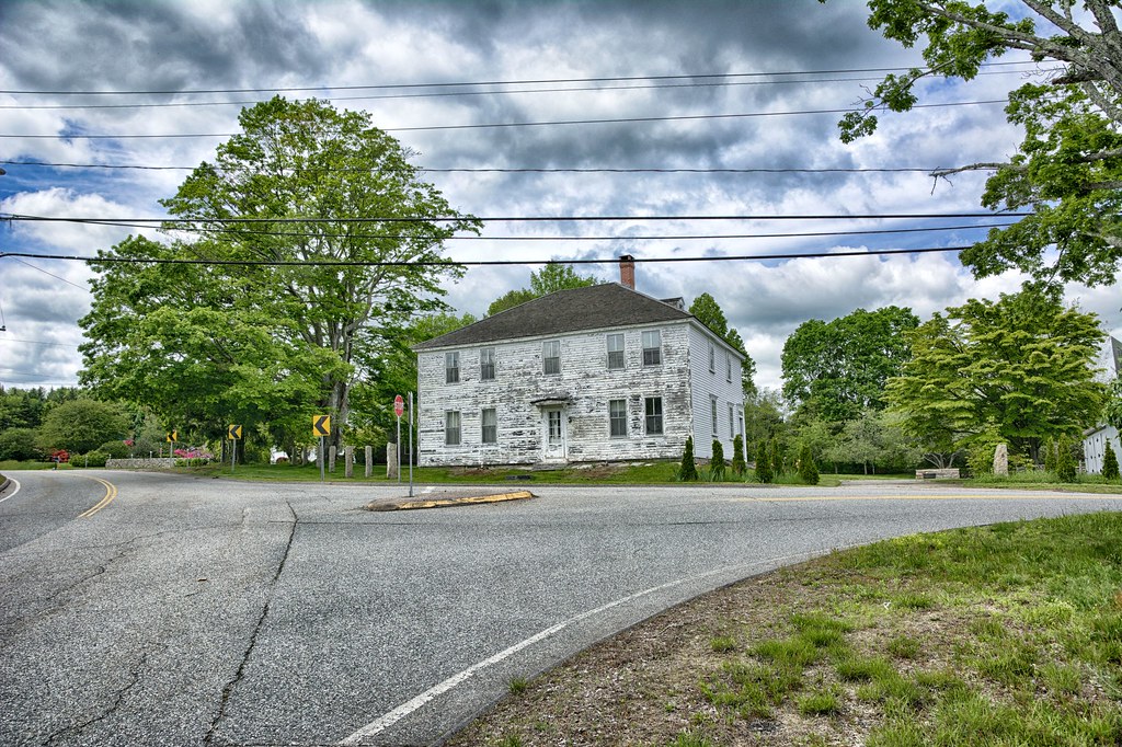
At the intersection of CT 163 and Oakdale Road is Raymond-Bradford Homestead (NRHP) in Montville CT. The original house was built in 1710, with updates to the structure in 1820 and then again in 1870. It was the home of Mercy Sands Raymond, who was associated with the pirate, Captain Kidd.
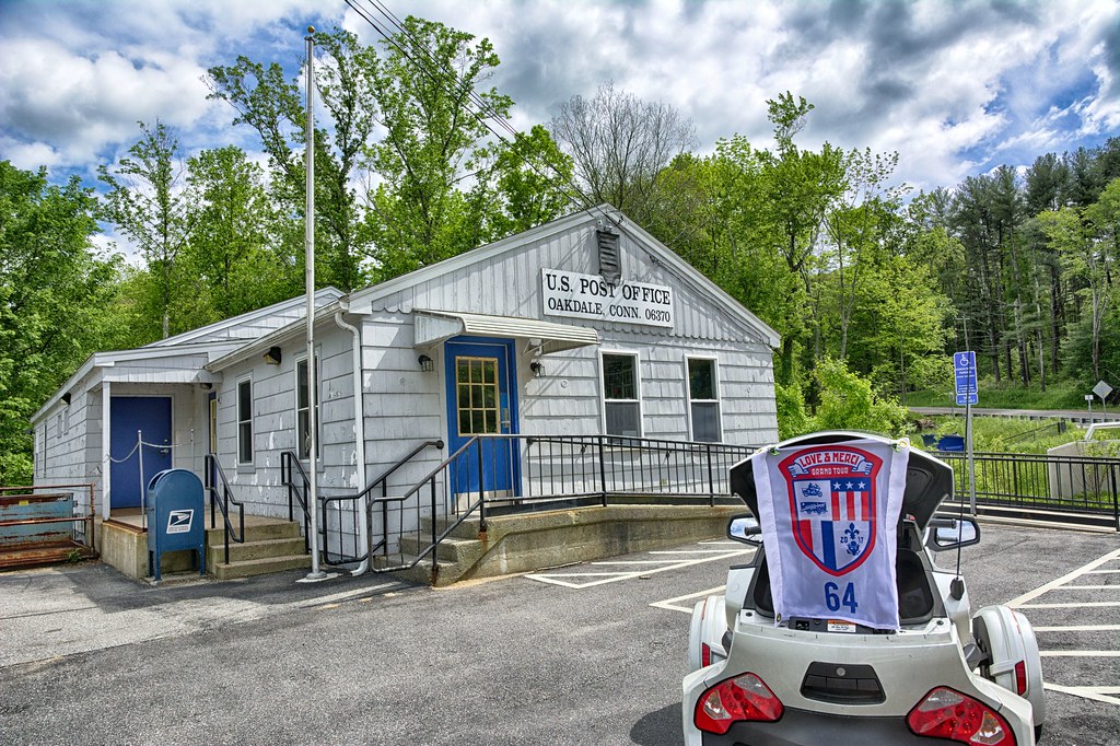
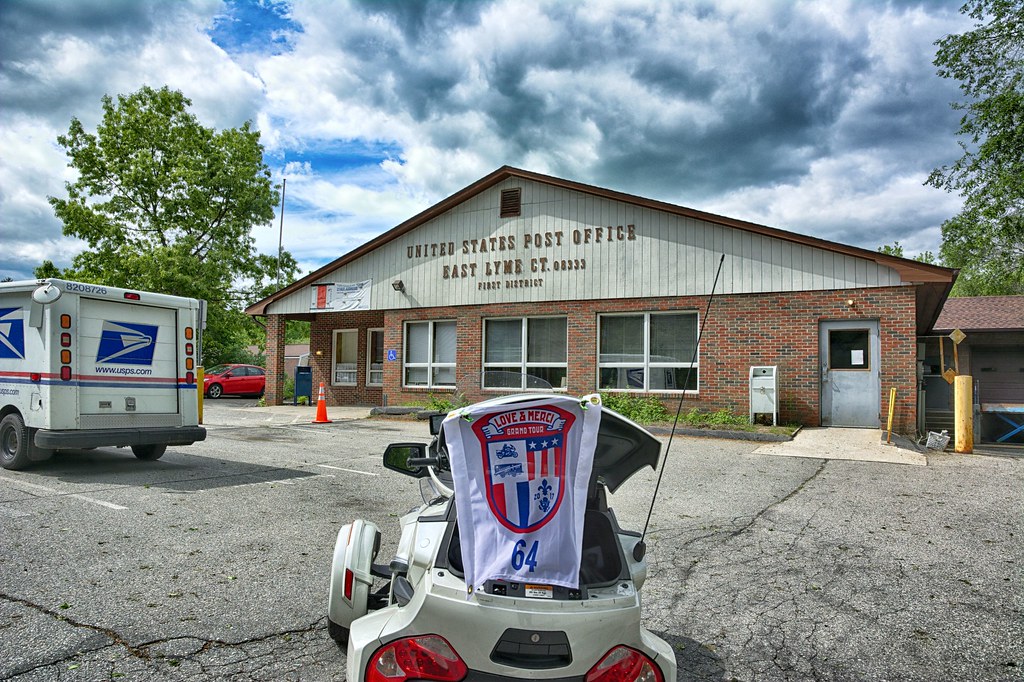
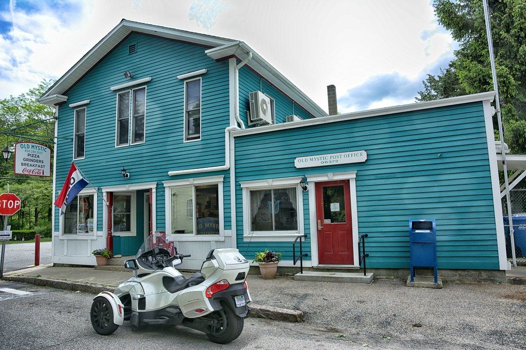
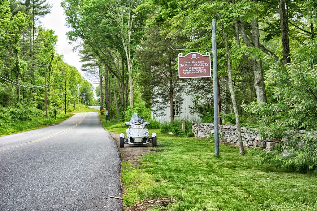
Following CT 163 into Oakdale for the PO and then East Lyme, Old Mystic and Ledyard. Old Mystic was turning north point of the journey to head for the barn.
In Preston at the intersection of Colonel Ledyard Highway and Spicer Hill Rd is Bill Gurdon's Store (NRHP). The store was built in 1818 and was located on an important cross road for the stage coaches. The store maintains its 19th century look and is the best preserved of its type in Connecticut. The store carried manufactured goods, seeds, tools, prepared foods, cloth and other sundries farming people would need.
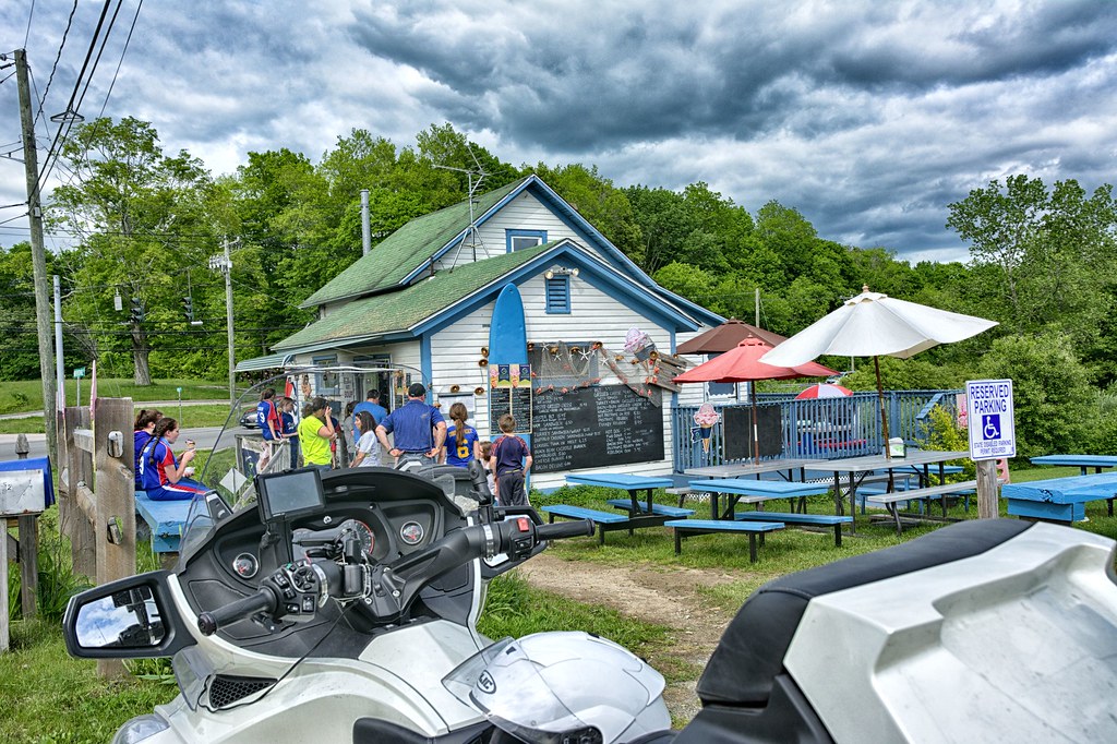
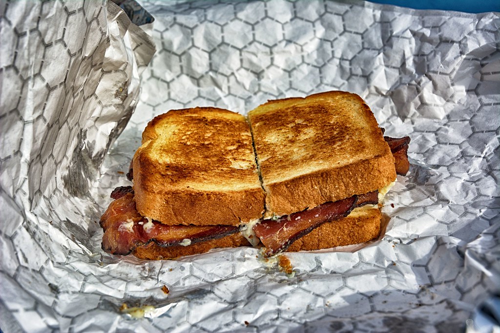
Having left home in the morning without anything to eat and being after 4 pm, I came to the intersection of Mathewson Mill Rd and Norwich Westerly Rd. The light was red which gave me a chance to glance over to the right to see Jimmies. Light turns green and I make a U Turn and stop. I was thinking Ice Cream but then I saw a Bleu Cheese and Bacon Hotdog, which I ordered. Paid and went to sit down at the picnic tables to watch the girls softball teams arrive for a late afternoon ice cream after a game. My meal arrives and I discover they made me a Bleu and Bacon Grilled Cheese. No wonder why the bill was so much. Well I have to say this was one of the best sandwiches I have ever had and will be sure to try making one at home. Highly recommend a stop here if you are in the area.
As I left Jimmies my Android phone was playing the Moody Blues - "I know you are out there", which made me feel my brother-in-law John was with me along for the ride. John passed away a few years back and the Moody Blues was one of his favorite bands. Miss the guy for sure.
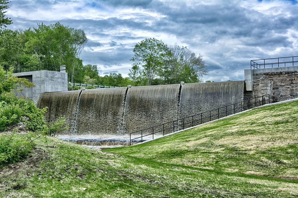
Traveling north via Branch Hill Rd hanging a right on CT 165 to Glasgo Rd for the Kinne Cemetery (NRHP), brought me to a dead end where the cemetery was suppose to be however it appeared to enter some private property so this was a bust. As I turned around, rather than heading back to the main road went the opposite direction to see if the cemetery was along this road. Instead found the Glasgo Dam that is being updated and rebuilt, it is 146 years old after all.
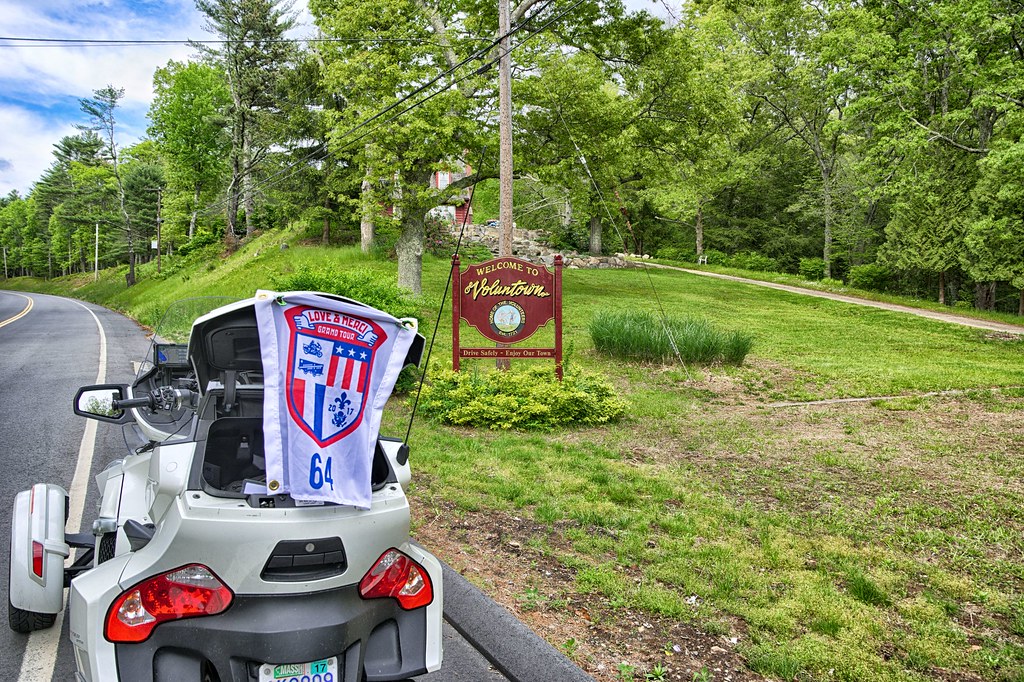
Quick stop in Voluntown for the V.
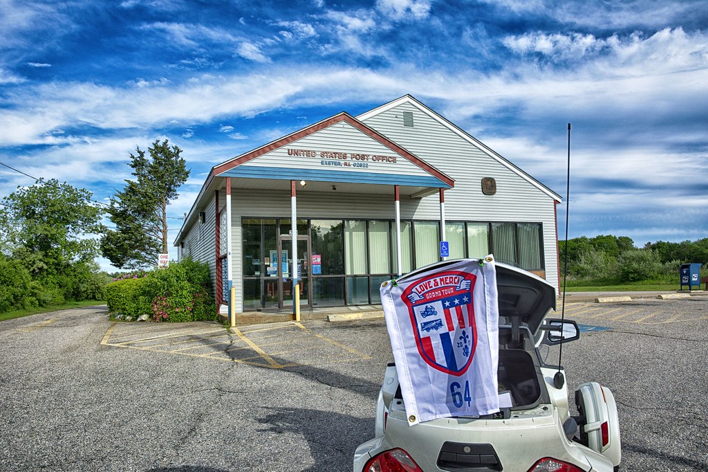
Headed north and east into Rhode Island for the E in Exeter.
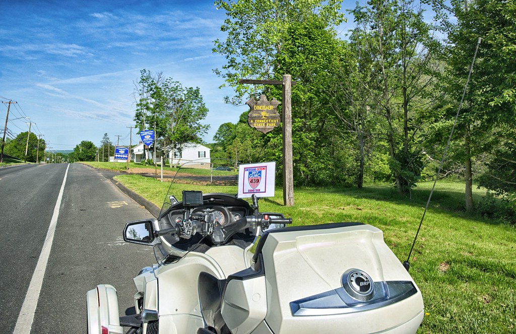
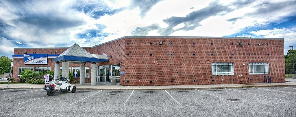
All of the previous Grand Tour stops have been for Teamstrange. This spot is one of the specific locations for the GLMC Americana Extreme Tour.
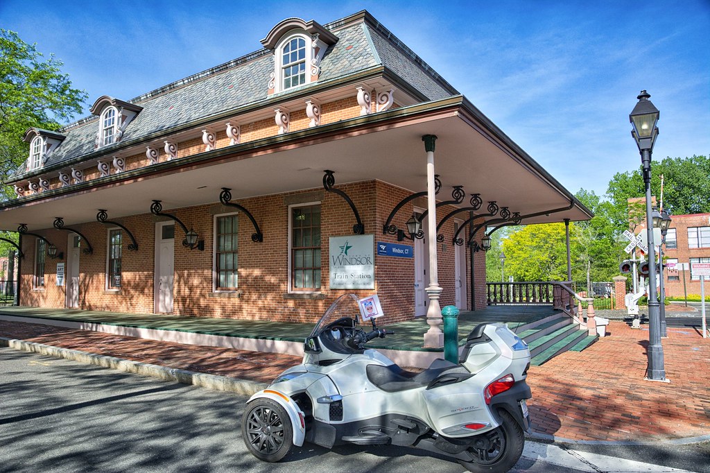
One more post office in East Greenwich for Teamstrange.
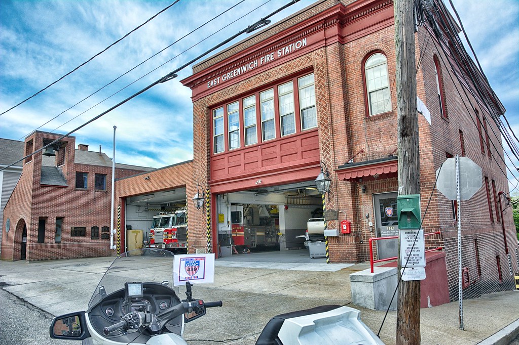
And the fire station in East Greenwich, a general place to Americana Extreme. The general locations for this tour are state and national parks, schools, fire departments, dinosaurs, train stations, motorcycle shops and Diners / Drive Ins.
The last stop of the day is the Chapel by the Sea in Warwick RI. A specific spot for Americana Tour. This is right on the Providence River and a very scenic place. The chapel is used for a lot of weddings. When I pulled up the road was filled with water from the heavy rains we have been having and I pulled further into the driveway so I wouldn't be standing in ankle deep water while trying to capture the bike, flag and chapel. A lady came out and said feel free to pull in as far as you need. I assume she was the owner of the property and quite pleasant. Nice way to end the day for stops.

With 37 miles to go, made my way to I-295 to 146 to get home the faster. Pulled in right around 7;30pm, grabbed a Rolling Rock, put my feet up, feeling quite satisfied with the day's captures. Just over 200 miles for the day, on some great roads in Connecticut that I have not been on before.